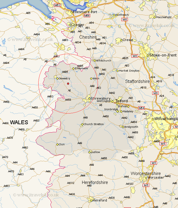
Shropshire Map Showing Location of Eardiston
District: Oswestry
Easting: 337105 Northing: 324795
Latitude: 52.82 Longitude: -2.93
 = Eardiston
Easting: 337105 Northing: 324795
Latitude: 52.82 Longitude: -2.93
= Eardiston
This Eardiston map below is supplied by Google. Use the tools in the top left corner to zoom into street level or zoom out for a road map, you may also need to zoom in to see Eardiston on the map. Click and drag the map to move around. If the map fails to load try and refresh your browser or zoom in or out (+ or -).
Update - it seems Google no longer allow people to use their maps for free! This Eardiston map sometimes loads and sometimes gives a error. I am working on a solution.
Closest 30 Towns or Cities to Eardiston (Population over 500)
West Felton 3.36km Kinnerley 5.01km Baschurch 5.82km Great Ness 5.99km Cockshutt 6.71km Cockshut 6.71km Whittington 7.14km Oswestry 7.67km St. Martins 8.79km Saint Martins 8.79km St Martins 8.79km Pant 9.7km Gobowen 10km Welshampton 10.82km Alberbury 11.18km Loppington 11.51km Ellesmere 11.62km Bicton 12.15km Ford 12.45km Selattyn 13.68km Llanyblodwel 13.95km Westbury 14.88km Wem 15.02km Hadnall 15.59km Great Hanwood 16.78km Hanwood 16.78km Whixall 17.24km Shrewsbury 17.46km Pontesbury 18.84km Stanton 19.04km