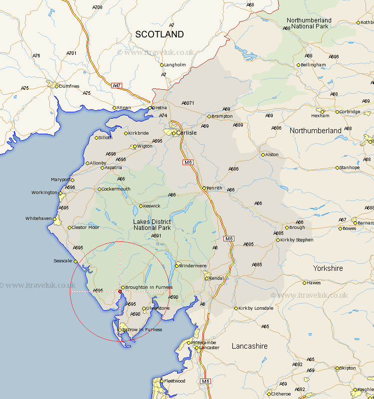
Cumbria Map Showing Location of Duddon
District: Copeland
Easting: 319683 Northing: 486390
Latitude: 54.27 Longitude: -3.23
 = Duddon
Easting: 319683 Northing: 486390
Latitude: 54.27 Longitude: -3.23
= Duddon
This Duddon map below is supplied by Google. Use the tools in the top left corner to zoom into street level or zoom out for a road map, you may also need to zoom in to see Duddon on the map. Click and drag the map to move around. If the map fails to load try and refresh your browser or zoom in or out (+ or -).
Update - it seems Google no longer allow people to use their maps for free! This Duddon map sometimes loads and sometimes gives a error. I am working on a solution.
Closest 30 Towns or Cities to Duddon (Population over 500)
Millom 7.73km Bootle 8.66km Askam 9.34km Askam in Furness 9.34km Pennington 11.32km Ulverstone 11.41km Ulverston 11.41km Colton 11.9km Lindal in Furness 12.37km Lindal 12.37km Dalton in Furness 13.68km Dalton 13.68km Haverthwaite 14.56km Great Urswick 15.03km Conistan 15.51km Coniston 15.51km Hawkshead 18.78km Aldingham 18.8km Lower Holker 19.66km Holker 19.66km Gosforth 19.69km Isle of Walney 20.39km Seascale 20.76km Windermere 23.36km Ambleside 24.02km Arnside 27.61km Egremont 28.84km Staveley 29.22km Levens 29.29km Heversham 30.54km