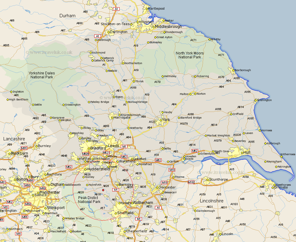
Yorkshire Map Showing Location of Penistone
Population: 8469
Area Size (ha): 228
District: Barnsley
Easting: 425414 Northing: 402320
Latitude: 53.52 Longitude: -1.62
 = Penistone
Area Size (ha): 228
District: Barnsley
Easting: 425414 Northing: 402320
Latitude: 53.52 Longitude: -1.62
= Penistone
This Penistone map below is supplied by Google. Use the tools in the top left corner to zoom into street level or zoom out for a road map, you may also need to zoom in to see Penistone on the map. Click and drag the map to move around. If the map fails to load try and refresh your browser or zoom in or out (+ or -).
Update - it seems Google no longer allow people to use their maps for free! This Penistone map sometimes loads and sometimes gives a error. I am working on a solution.
Closest 30 Towns or Cities to Penistone (Population over 500)
Silkstone 3.79km Stocksbridge 3.87km Dodworth 5.81km Cawthorne 5.98km Denby Dale 6.47km Wortley 6.65km Dunford Bridge 8.82km Worsbrough 8.82km Worsborough 8.82km Birdwell 9.01km Darton 9.23km Barnsley 9.56km Shepley 9.92km Shelley 10.26km Wharncliffe Side 10.27km Wharncliffe 10.27km Oughtibridge 10.27km Holmfirth 10.58km Tankersley 10.59km Kirkburton 10.77km Bradfield 11.17km Emley 11.17km Hoyland Nether 11.18km Hoyland 11.18km Woolley 11.38km West Bretton 11.6km Bretton 11.6km Notton 12.78km Ecclesfield 13.59km Crigglestone 14.09km