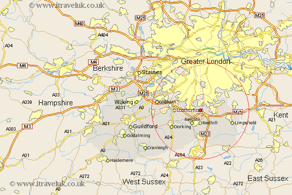
Surrey Map Showing Location of Chipstead
District: Reigate and Banstead
Easting: 527842 Northing: 155448
Latitude: 51.28 Longitude: -0.17
 = Chipstead
Easting: 527842 Northing: 155448
Latitude: 51.28 Longitude: -0.17
= Chipstead
This Chipstead map below is supplied by Google. Use the tools in the top left corner to zoom into street level or zoom out for a road map, you may also need to zoom in to see Chipstead on the map. Click and drag the map to move around. If the map fails to load try and refresh your browser or zoom in or out (+ or -).
Update - it seems Google no longer allow people to use their maps for free! This Chipstead map sometimes loads and sometimes gives a error. I am working on a solution.
Closest 30 Towns or Cities to Chipstead (Population over 500)
Banstead 3.71km Tadworth 4.64km Redhill 5.56km Caterham 6.08km Reigate 6.56km Whyteleafe 6.88km Bletchingley 7.24km Betchworth 8.03km Buckland 8.03km Nutfield 8.18km Warlingham 8.32km Godstone 8.91km Salfords 9.26km Woldingham 9.27km Farleigh 9.99km Farley 9.99km Leigh 10.36km Leatherhead 10.43km Tandridge 10.82km Mickleham 11.07km Oxted 11.82km Horley 12.97km Oxshott 13.28km Dorking 13.76km Tatsfield 13.91km Limpsfield 13.92km Horne 14.72km Claygate 14.74km Westcott 14.75km Charlwood 15.23km