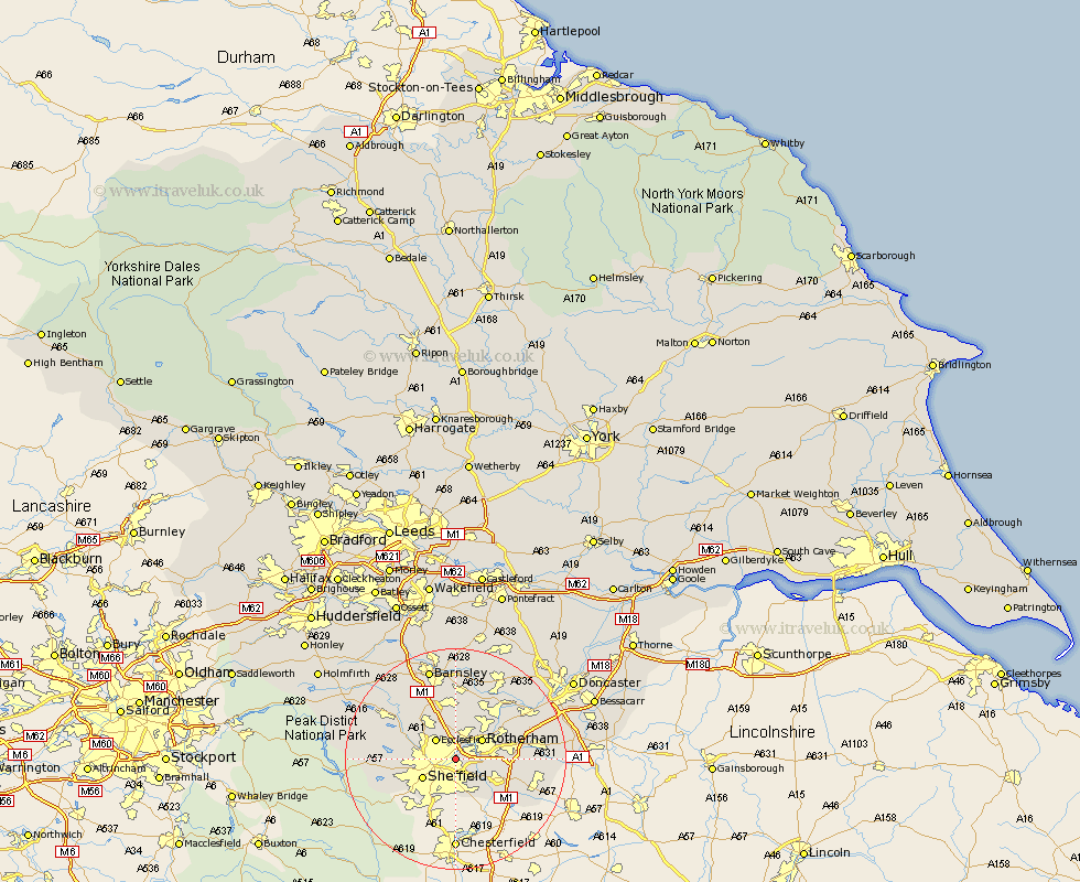
Yorkshire Map Showing Location of Carbrook
District: Sheffield
Easting: 438780 Northing: 389429
Latitude: 53.4 Longitude: -1.42
 = Carbrook
Easting: 438780 Northing: 389429
Latitude: 53.4 Longitude: -1.42
= Carbrook
This Carbrook map below is supplied by Google. Use the tools in the top left corner to zoom into street level or zoom out for a road map, you may also need to zoom in to see Carbrook on the map. Click and drag the map to move around. If the map fails to load try and refresh your browser or zoom in or out (+ or -).
Update - it seems Google no longer allow people to use their maps for free! This Carbrook map sometimes loads and sometimes gives a error. I am working on a solution.
Closest 30 Towns or Cities to Carbrook (Population over 500)
Orgreave 3.8km Treeton 4.8km Ecclesfield 4.97km Whiston 5.53km Rotherham 5.76km Rotherdam 5.76km Sheffield 6.65km Wentworth 7.42km Rawmarsh 7.84km Wickersley 9.03km Beighton 9.25km Thrybergh 9.52km Aston 9.53km Wharncliffe 9.58km Wharncliffe Side 9.58km Oughtibridge 9.58km Tankersley 9.84km Bramley 10.11km Brampton 10.12km Brampton en le Morthern 10.12km Brampton en le Morthen 10.12km Hoyland 11.34km Hoyland Nether 11.34km Swinton 11.39km Wales 11.54km Birdwell 11.96km Wath-on-Dearne 11.96km Wath 11.96km Wath upon Dearne 11.96km Wath on Dearne 11.96km