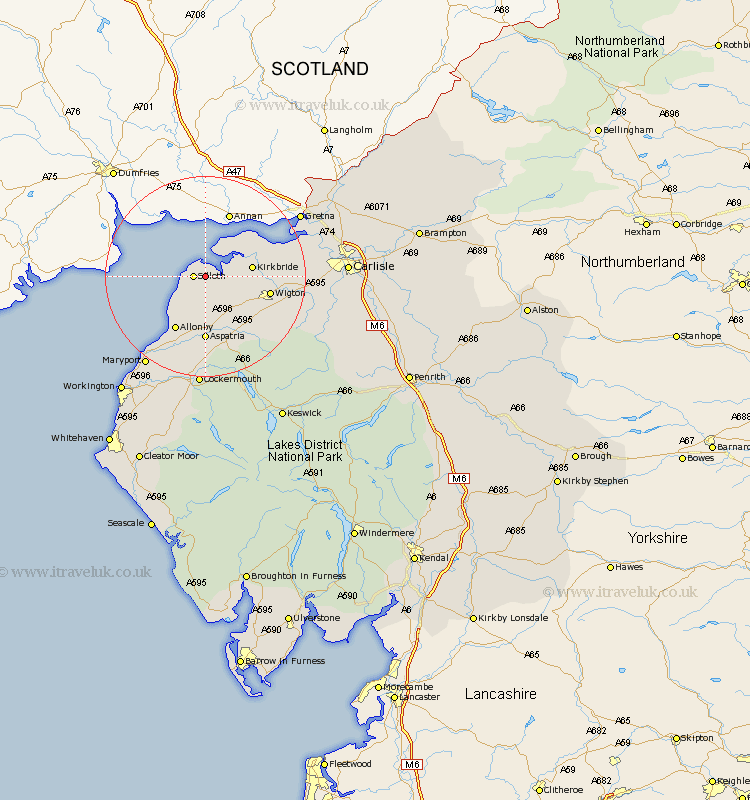
Cumbria Map Showing Location of Calvo
District: Allerdale
Easting: 314437 Northing: 553259
Latitude: 54.87 Longitude: -3.33
 = Calvo
Easting: 314437 Northing: 553259
Latitude: 54.87 Longitude: -3.33
= Calvo
This Calvo map below is supplied by Google. Use the tools in the top left corner to zoom into street level or zoom out for a road map, you may also need to zoom in to see Calvo on the map. Click and drag the map to move around. If the map fails to load try and refresh your browser or zoom in or out (+ or -).
Update - it seems Google no longer allow people to use their maps for free! This Calvo map sometimes loads and sometimes gives a error. I am working on a solution.
Closest 30 Towns or Cities to Calvo (Population over 500)
Silloth 2.13km Bromfield 8.56km Kirkbride 8.73km Bowness-on-Solway 11.89km Bowness on Solway 11.89km Wigton 12.31km Aspatria 12.98km Westward 15.81km Crosscanonby 16.16km Thursby 18.51km Burgh by Sands 18.95km Burgh-by-Sands 18.95km Burgh 18.95km Dearham 19.61km Bridekirk 20.5km Maryport 21.4km Broughton Moor 22.11km Cockermouth 22.26km Dalston 22.71km Caldbeck 23.45km Flimby 23.54km Rockcliffe 23.57km Rockcliff 23.57km Brigham 24.68km Hesket Newmarket 25.14km Carlisle 25.66km Stanwix 25.85km Longtown 27.72km Workington 28.37km Dean 30.34km