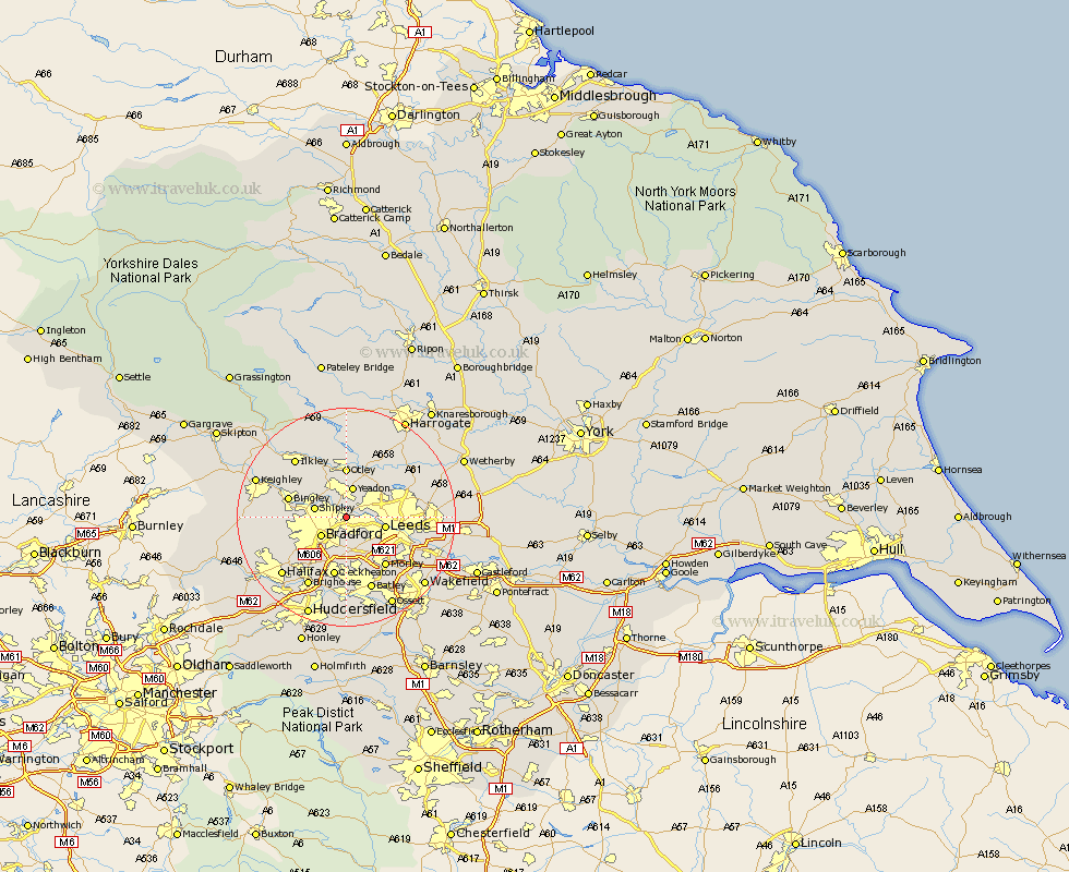
Yorkshire Map Showing Location of Calverley
District: Leeds
Easting: 420846 Northing: 435672
Latitude: 53.82 Longitude: -1.68
 = Calverley
Easting: 420846 Northing: 435672
Latitude: 53.82 Longitude: -1.68
= Calverley
This Calverley map below is supplied by Google. Use the tools in the top left corner to zoom into street level or zoom out for a road map, you may also need to zoom in to see Calverley on the map. Click and drag the map to move around. If the map fails to load try and refresh your browser or zoom in or out (+ or -).
Update - it seems Google no longer allow people to use their maps for free! This Calverley map sometimes loads and sometimes gives a error. I am working on a solution.
Closest 30 Towns or Cities to Calverley (Population over 500)
Horsforth 3.77km Pudsey 3.87km Yeadon 5.67km Bradford 5.74km Shipley 5.77km Guiseley 5.97km Baildon 6.6km Leeds 6.82km Menston 8.1km Bramhope 8.6km Otley 9.26km Pool 10.24km Poole 10.24km Pool-in-Wharfedale 10.24km Bingley 10.52km Arthington Junction Station 10.75km Arthington 10.75km Cleckheaton 11.33km Morley 11.37km Burley in Wharfedale 11.95km Burley 11.95km Wilsden 12.04km Liversedge 13.02km Heckmondwike 13.02km Weeton 13.5km Dewsbury 13.7km Drewsbury 13.7km Ilkley 14.14km Cullingworth 14.22km Batley 14.28km