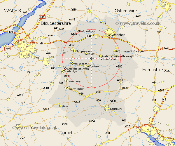
Wiltshire Map Showing Location of Calstone Wellington
District: Kennet
Easting: 403477 Northing: 166830
Latitude: 51.4 Longitude: -1.95
 = Calstone Wellington
Easting: 403477 Northing: 166830
Latitude: 51.4 Longitude: -1.95
= Calstone Wellington
This Calstone Wellington map below is supplied by Google. Use the tools in the top left corner to zoom into street level or zoom out for a road map, you may also need to zoom in to see Calstone Wellington on the map. Click and drag the map to move around. If the map fails to load try and refresh your browser or zoom in or out (+ or -).
Update - it seems Google no longer allow people to use their maps for free! This Calstone Wellington map sometimes loads and sometimes gives a error. I am working on a solution.
Closest 30 Towns or Cities to Calstone Wellington (Population over 500)
Cherhill 1.86km Bishops Cannings 3.7km Roundway 4.37km Calne 5.07km Devizes 6.02km Hillmarton 7.51km Hilmarton 7.51km Bremhill 8.02km Rowde 8.02km Potterne 10.35km Seend 10.8km Broad Town 10.92km Urchfont 11.18km Laycock 11.56km Lacock 11.56km Broad Hinton 12.3km Worton 12.3km Chippenham 12.82km Lyneham 13.02km Christian Malford 13.1km Lavington 13.18km Market Lavington 13.18km Melksham 13.25km Sutton Benger 14.46km Semington 14.95km Wootton Bassett 15.22km Wooton Bassett 15.22km Erlestoke 15.3km Corsham 15.47km Pewsey 15.74km