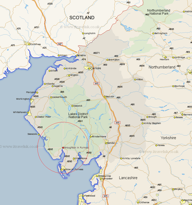
Cumbria Map Showing Location of Broughton In Furness
District: South Lakeland
Easting: 320799 Northing: 488218
Latitude: 54.28 Longitude: -3.22
 = Broughton In Furness
Easting: 320799 Northing: 488218
Latitude: 54.28 Longitude: -3.22
= Broughton In Furness
This Broughton In Furness map below is supplied by Google. Use the tools in the top left corner to zoom into street level or zoom out for a road map, you may also need to zoom in to see Broughton In Furness on the map. Click and drag the map to move around. If the map fails to load try and refresh your browser or zoom in or out (+ or -).
Update - it seems Google no longer allow people to use their maps for free! This Broughton In Furness map sometimes loads and sometimes gives a error. I am working on a solution.
Closest 30 Towns or Cities to Broughton In Furness (Population over 500)
Millom 9.82km Bootle 9.91km Colton 10.98km Askam in Furness 11.12km Askam 11.12km Ulverstone 11.97km Ulverston 11.97km Pennington 12.37km Coniston 13.44km Conistan 13.44km Lindal in Furness 13.67km Lindal 13.67km Haverthwaite 14.13km Dalton in Furness 15.17km Dalton 15.17km Great Urswick 16.19km Hawkshead 16.84km Gosforth 19.12km Lower Holker 19.69km Holker 19.69km Aldingham 20.02km Seascale 20.56km Windermere 21.55km Ambleside 21.97km Isle of Walney 22.27km Arnside 27.28km Staveley 27.55km Egremont 28.17km Levens 28.38km Heversham 29.75km