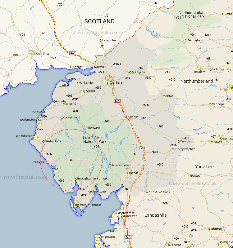
Cumbria Map Showing Location of Boot
District: Copeland
Easting: 317778 Northing: 501258
Latitude: 54.4 Longitude: -3.27
 = Boot
Easting: 317778 Northing: 501258
Latitude: 54.4 Longitude: -3.27
= Boot
This Boot map below is supplied by Google. Use the tools in the top left corner to zoom into street level or zoom out for a road map, you may also need to zoom in to see Boot on the map. Click and drag the map to move around. If the map fails to load try and refresh your browser or zoom in or out (+ or -).
Update - it seems Google no longer allow people to use their maps for free! This Boot map sometimes loads and sometimes gives a error. I am working on a solution.
Closest 30 Towns or Cities to Boot (Population over 500)
Gosforth 10.79km Coniston 13.47km Conistan 13.47km Seascale 14.15km Bootle 16.18km Hawkshead 17.66km Egremont 17.79km Ambleside 19.5km Frizington 20.39km Colton 20.42km Lamplugh 20.44km Cleator Moor 20.72km Millom 22.24km Windermere 22.96km Koswick 24.26km Keswick 24.26km Askam 24.31km Askam in Furness 24.31km Haverthwaite 24.63km Dean 24.71km Ulverstone 24.73km Ulverston 24.73km Saint Bees 25.21km St. Bees 25.21km St. Bega 25.21km St Bega 25.21km Saint Bega 25.21km St Bees 25.21km Pennington 25.6km Distington 26.68km