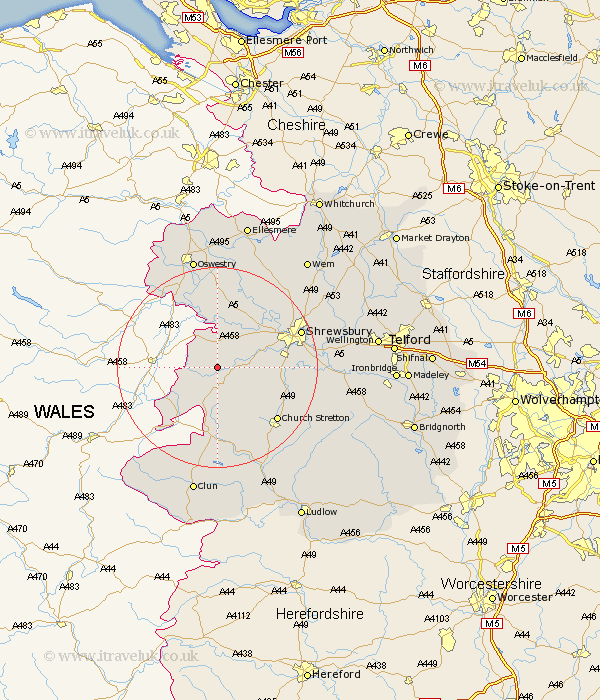
Shropshire Map Showing Location of Aston
District: South Shropshire
Easting: 334610 Northing: 306284
Latitude: 52.65 Longitude: -2.97
 = Aston
Easting: 334610 Northing: 306284
Latitude: 52.65 Longitude: -2.97
= Aston
This Aston map below is supplied by Google. Use the tools in the top left corner to zoom into street level or zoom out for a road map, you may also need to zoom in to see Aston on the map. Click and drag the map to move around. If the map fails to load try and refresh your browser or zoom in or out (+ or -).
Update - it seems Google no longer allow people to use their maps for free! This Aston map sometimes loads and sometimes gives a error. I am working on a solution.
Closest 30 Towns or Cities to Aston (Population over 500)
Minsterley 2.92km Westbury 3.87km Pontesbury 5.62km Shelve 7.5km Alberbury 7.5km Great Hanwood 10.77km Hanwood 10.77km Ford 10.81km Chirbury 10.82km Chirburg 10.82km Bicton 13.71km Great Ness 13.73km Condover 14.62km Baystonhill 14.73km Kinnerley 14.86km Church Stretton 15.82km Baschurch 16.28km Pant 16.28km Shrewsbury 17.39km Berrington 17.99km West Felton 18.57km Llanyblodwel 18.59km Lydbury North 20.41km North Lydbury 20.41km Hadnall 21.26km Wistanstow 21.85km Rushbury 22.47km Oswestry 22.69km Cockshut 23.58km Cockshutt 23.58km