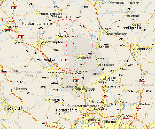
Bedfordshire Map Showing Location of Podington
Population: 417
District: Bedford
Easting: 494460 Northing: 260405
Latitude: 52.23 Longitude: -0.62
 = Podington
District: Bedford
Easting: 494460 Northing: 260405
Latitude: 52.23 Longitude: -0.62
= Podington
This Podington map below is supplied by Google. Use the tools in the top left corner to zoom into street level or zoom out for a road map, you may also need to zoom in to see Podington on the map. Click and drag the map to move around. If the map fails to load try and refresh your browser or zoom in or out (+ or -).
Update - it seems Google no longer allow people to use their maps for free! This Podington map sometimes loads and sometimes gives a error. I am working on a solution.
Closest 30 Towns or Cities to Podington (Population over 500)
Wymington 3.88km Harrold 5.68km Carlton 5.68km Sharnbrook 5.97km Pavenham 7.18km Turvey 7.5km Stevington 8.69km Milton Ernest 8.8km Oakley 10.07km Riseley 10.38km Bromham 11.5km Thurleigh 11.94km Clapham 12.98km Biddenham 13.67km Bedford 14.51km Bolnhurst 14.87km Kempston 17.39km Elstow 18.01km Wootton 18.02km Cranfield 18.56km Willington 20.35km Great Barford 20.4km Cople 20.53km Marston Moretaine 20.89km Wilhamstead 22.36km Willshamstead 22.36km Wilshamstead 22.36km Wilstead 22.36km Lidlington 22.7km Houghton Conquest 22.81km