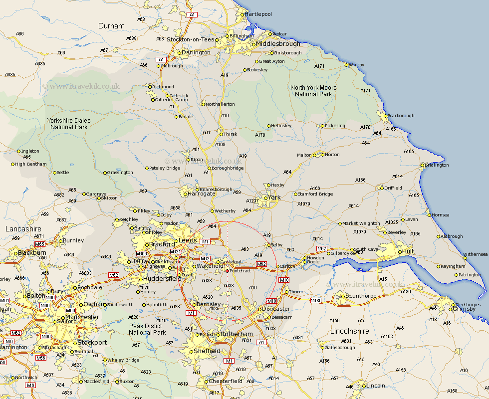
Yorkshire Map Showing Location of Pontefract
Population: 28249
Area Size (ha): 650
District: Wakefield
Easting: 446227 Northing: 421013
Latitude: 53.68 Longitude: -1.3
 = Pontefract
Area Size (ha): 650
District: Wakefield
Easting: 446227 Northing: 421013
Latitude: 53.68 Longitude: -1.3
= Pontefract
This Pontefract map below is supplied by Google. Use the tools in the top left corner to zoom into street level or zoom out for a road map, you may also need to zoom in to see Pontefract on the map. Click and drag the map to move around. If the map fails to load try and refresh your browser or zoom in or out (+ or -).
Update - it seems Google no longer allow people to use their maps for free! This Pontefract map sometimes loads and sometimes gives a error. I am working on a solution.
Closest 30 Towns or Cities to Pontefract (Population over 500)
Darrington 3.78km High Ackworth 4.31km Ackworth Moor Top 4.31km Ackworth 4.31km Brotherton 4.31km Featherstone 4.77km Knottingley 4.77km Knottingly 4.77km Castleford 4.96km Badsworth 7.41km Upton 7.49km Fitzwilliam 7.81km Normanton 7.9km North Elmsall 8.11km Crofton 8.53km Monk Fryston 8.62km Norton 9.49km Hemsworth 9.83km South Milford 9.84km Whitley 9.88km Kippax 10.26km Campsall 10.68km South Kirkby 11.03km Moorthorpe 11.12km South Elmsall 11.17km Ryhill 11.49km Swillington 12.04km Wakefield 12.21km Stanley 12.21km Garforth 12.4km