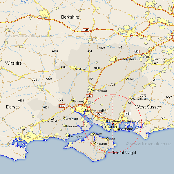
Hampshire Map Showing Location of Portchester
Population: 53698
Area Size (ha): 1437
District: Fareham
Easting: 462198 Northing: 104185
Latitude: 50.83 Longitude: -1.12
 = Portchester
Area Size (ha): 1437
District: Fareham
Easting: 462198 Northing: 104185
Latitude: 50.83 Longitude: -1.12
= Portchester
This Portchester map below is supplied by Google. Use the tools in the top left corner to zoom into street level or zoom out for a road map, you may also need to zoom in to see Portchester on the map. Click and drag the map to move around. If the map fails to load try and refresh your browser or zoom in or out (+ or -).
Update - it seems Google no longer allow people to use their maps for free! This Portchester map sometimes loads and sometimes gives a error. I am working on a solution.
Closest 30 Towns or Cities to Portchester (Population over 500)
Southwick 3.71km Gosport 3.88km Fareham 5.04km Portsmouth 5.44km Southsea 6.58km Lee-on-the-Solent 6.93km Lee on Solent 6.93km Lee-on-Solent 6.93km Lee on the Solent 6.93km Waterloo 7.94km Waterlooville 7.94km Wickham 8.21km Havant 9.54km Hambledon 9.92km Shidfield 10.39km Shedfield 10.39km Waltham Chase 10.96km Soberton 11.18km Ryde 11.66km Swanmore 11.66km Rowlands Castle 12.95km Emsworth 13.01km Seaview 13.02km Droxford 13.03km Curbridge 13.17km Curdridge 13.17km Horndean 13.17km Bursledon 13.4km Locks Heath 13.46km Clanfield 13.81km