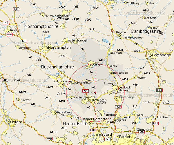
Bedfordshire Map Showing Location of Barton In The Clay
Population: 3447
Area Size (ha): 89
District: South Bedfordshire
Easting: 508803 Northing: 229177
Latitude: 51.95 Longitude: -0.42
 = Barton In The Clay
Area Size (ha): 89
District: South Bedfordshire
Easting: 508803 Northing: 229177
Latitude: 51.95 Longitude: -0.42
= Barton In The Clay
This Barton In The Clay map below is supplied by Google. Use the tools in the top left corner to zoom into street level or zoom out for a road map, you may also need to zoom in to see Barton In The Clay on the map. Click and drag the map to move around. If the map fails to load try and refresh your browser or zoom in or out (+ or -).
Update - it seems Google no longer allow people to use their maps for free! This Barton In The Clay map sometimes loads and sometimes gives a error. I am working on a solution.
Closest 30 Towns or Cities to Barton In The Clay (Population over 500)
Barton in the Clay 0km Barton 0km Streatley 2.18km Pulloxhill 4.35km Westoning 4.93km Sundon 5.05km Silsoe 5.56km Shillington 5.88km Flitton 6.01km Gravenhurst 6.53km Flitwick 7.19km Clophill 7.42km Luton 7.42km Maulden 7.76km Meppershall 7.97km Toddington 8.21km Stondon 8.82km Houghton Regis 8.83km Campton and Chicksands 9.87km Dunstable 10.1km Shefford 10.88km Ampthill 10.88km Haynes 11.12km Caddington 11.35km Houghton Conquest 11.63km Henlow 11.76km Hockliffe 12.01km Clifton 12.23km Kensworth 12.5km Arlesley 12.7km