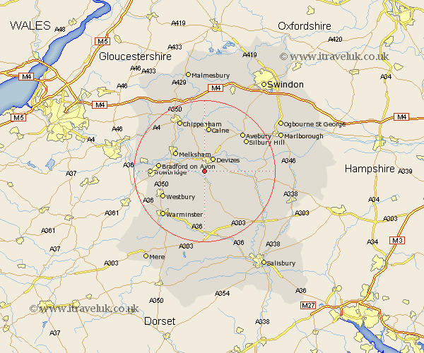
Wiltshire Map Showing Location of Potterne
Population: 1547
Area Size (ha): 36
District: Kennet
Easting: 398838 Northing: 157566
Latitude: 51.32 Longitude: -2.02
 = Potterne
Area Size (ha): 36
District: Kennet
Easting: 398838 Northing: 157566
Latitude: 51.32 Longitude: -2.02
= Potterne
This Potterne map below is supplied by Google. Use the tools in the top left corner to zoom into street level or zoom out for a road map, you may also need to zoom in to see Potterne on the map. Click and drag the map to move around. If the map fails to load try and refresh your browser or zoom in or out (+ or -).
Update - it seems Google no longer allow people to use their maps for free! This Potterne map sometimes loads and sometimes gives a error. I am working on a solution.
Closest 30 Towns or Cities to Potterne (Population over 500)
Worton 3.47km Rowde 3.88km Devizes 4.37km Lavington 4.38km Market Lavington 4.38km Erlestoke 5.09km Seend 5.93km Roundway 6.02km Urchfont 6.08km Bishops Cannings 7.24km West Lavington 7.51km Edington 8.03km Steeple Ashton 8.32km Bratton 8.9km Melksham 9.83km Semington 9.98km Laycock 11.58km Lacock 11.58km Hilperton 11.58km Cherhill 12.04km Broughton Gifford 12.84km Bradford on Avon 12.87km Bradford-on-Avon 12.87km Calne 13.02km Holt 13.26km Westbury 13.76km Upavon 14.39km North Bradley 14.39km Atworth 14.73km Whitley 14.81km