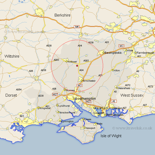
Hampshire Map Showing Location of Barton Stacey
Population: 892
District: Test Valley
Easting: 444276 Northing: 141077
Latitude: 51.17 Longitude: -1.37
 = Barton Stacey
District: Test Valley
Easting: 444276 Northing: 141077
Latitude: 51.17 Longitude: -1.37
= Barton Stacey
This Barton Stacey map below is supplied by Google. Use the tools in the top left corner to zoom into street level or zoom out for a road map, you may also need to zoom in to see Barton Stacey on the map. Click and drag the map to move around. If the map fails to load try and refresh your browser or zoom in or out (+ or -).
Update - it seems Google no longer allow people to use their maps for free! This Barton Stacey map sometimes loads and sometimes gives a error. I am working on a solution.
Closest 30 Towns or Cities to Barton Stacey (Population over 500)
Barton Stacey 0km Longparish 2.97km Wonston 3.95km Chilbolton 5.01km Whitchurch 6.03km Micheldever 7.9km Goodworth Clatford 8.13km Lower Clatford 8.13km Clatford 8.13km Upper Clatford 8.34km Andover 8.93km Kings Worthy 10.38km Abbots Ann 10.62km Abbotts Ann 10.62km Overton 11km Stockbridge 11.01km Sparsholt 11.18km Hurstbourne Tarrant 12.54km Winchester 12.72km North Waltham 13.3km Kings Somborne 13.78km Nether Wallop 15.02km Tangley 15.26km Thruxton 15.55km Dummer 15.55km Oakley 15.78km Broughton 15.8km Over Wallop 16.69km New Alresford 16.76km Hursley 16.84km