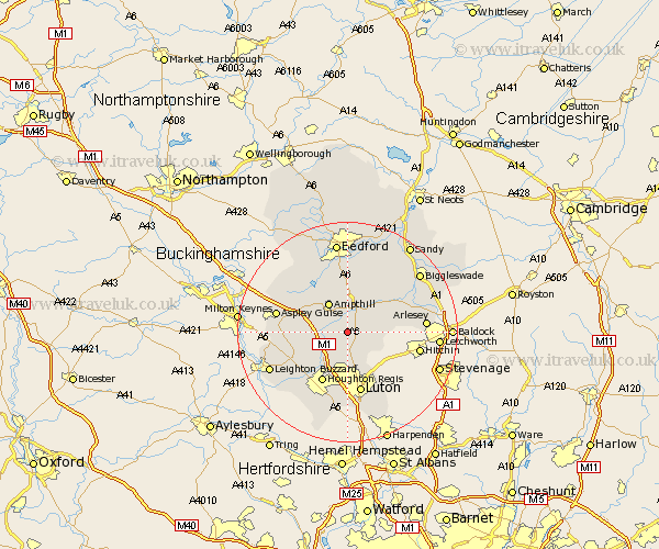
Bedfordshire Map Showing Location of Pulloxhill
Population: 850
District: Mid Bedfordshire
Easting: 506434 Northing: 232830
Latitude: 51.98 Longitude: -0.45
 = Pulloxhill
District: Mid Bedfordshire
Easting: 506434 Northing: 232830
Latitude: 51.98 Longitude: -0.45
= Pulloxhill
This Pulloxhill map below is supplied by Google. Use the tools in the top left corner to zoom into street level or zoom out for a road map, you may also need to zoom in to see Pulloxhill on the map. Click and drag the map to move around. If the map fails to load try and refresh your browser or zoom in or out (+ or -).
Update - it seems Google no longer allow people to use their maps for free! This Pulloxhill map sometimes loads and sometimes gives a error. I am working on a solution.
Closest 30 Towns or Cities to Pulloxhill (Population over 500)
Flitton 1.86km Westoning 2.94km Flitwick 2.94km Silsoe 2.94km Maulden 3.71km Barton in the Clay 4.35km Barton 4.35km Clophill 4.36km Streatley 5.67km Gravenhurst 6km Ampthill 6.53km Shillington 6.85km Sundon 7.49km Houghton Conquest 7.5km Haynes 7.76km Campton and Chicksands 7.97km Toddington 7.97km Meppershall 8.2km Lidlington 8.82km Stondon 9.32km Wilhamstead 9.34km Wilstead 9.34km Wilshamstead 9.34km Willshamstead 9.34km Shefford 9.73km Marston Moretaine 10.09km Houghton Regis 10.33km Luton 11.35km Woburn 11.41km Clifton 11.68km