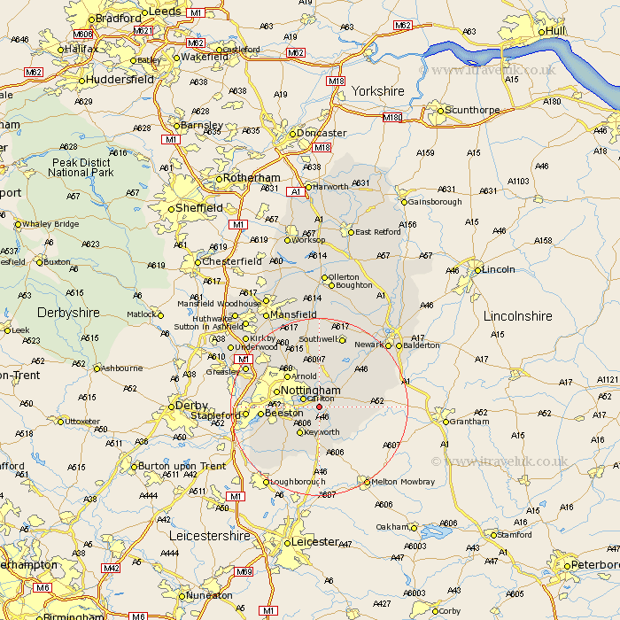
Nottinghamshire Map Showing Location of Radcliffe On Trent
Population: 7164
Area Size (ha): 201
District: Rushcliffe
Easting: 464966 Northing: 337794
Latitude: 52.93 Longitude: -1.03
 = Radcliffe On Trent
Area Size (ha): 201
District: Rushcliffe
Easting: 464966 Northing: 337794
Latitude: 52.93 Longitude: -1.03
= Radcliffe On Trent
This Radcliffe On Trent map below is supplied by Google. Use the tools in the top left corner to zoom into street level or zoom out for a road map, you may also need to zoom in to see Radcliffe On Trent on the map. Click and drag the map to move around. If the map fails to load try and refresh your browser or zoom in or out (+ or -).
Update - it seems Google no longer allow people to use their maps for free! This Radcliffe On Trent map sometimes loads and sometimes gives a error. I am working on a solution.
Closest 30 Towns or Cities to Radcliffe On Trent (Population over 500)
Cotgrave 3.7km Cropwell 3.83km Cropwell Butler 3.83km Tollerton 3.83km Colwick 3.83km Carlton 3.83km Shelford 3.88km Cropwell Bishop 4.99km Burton Joyce 5.56km Bingham 5.58km West Bridgford 5.88km West Bridgeford 5.88km Lambley 5.99km East Bridgford 6.71km Woodborough 9.54km Ruddington 9.6km Nottingham 9.67km Nottigham 9.67km Barnstone 9.68km Kinoulton 9.85km Arnold 9.99km Aslockton 10.05km Aslocton 10.05km Flintham 10.52km Bunny 11.44km Calverton 11.61km Claverton 11.61km Beeston 12.43km Bleasby 12.98km Oxton 13.17km