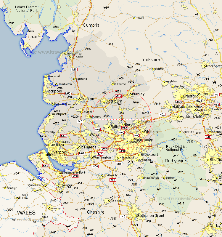
Lancashire Map Showing Location of Ramsbottom
Population: 16944
Area Size (ha): 345
District: Bury
Easting: 379062 Northing: 415269
Latitude: 53.63 Longitude: -2.32
 = Ramsbottom
Area Size (ha): 345
District: Bury
Easting: 379062 Northing: 415269
Latitude: 53.63 Longitude: -2.32
= Ramsbottom
This Ramsbottom map below is supplied by Google. Use the tools in the top left corner to zoom into street level or zoom out for a road map, you may also need to zoom in to see Ramsbottom on the map. Click and drag the map to move around. If the map fails to load try and refresh your browser or zoom in or out (+ or -).
Update - it seems Google no longer allow people to use their maps for free! This Ramsbottom map sometimes loads and sometimes gives a error. I am working on a solution.
Closest 30 Towns or Cities to Ramsbottom (Population over 500)
Tottington 3.86km Bury 3.86km Edenfield 3.87km Turton 5.49km Bradshaw 6.63km Bromley Cross 6.63km Haslingden 7.5km Rawtenstall 7.74km Heywood 8.63km Whitworth 8.98km Radcliffe 9.33km Whitefield 9.33km Bolton 9.49km Little Lever 9.83km Farnworth 10.77km Rochdale 11.15km Prestwich 11.33km Bacup 11.5km Kearsley 11.96km Middleton 12.04km Wardle 12.23km Darwen 12.36km Oswaldtwistle 12.4km Pendlebury 13.01km Church 13.7km Walkden 14.08km Littleborough 14.29km Rishton 14.55km Milnrow 14.76km Swinton 14.98km