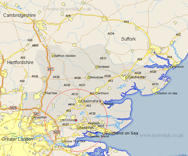
Essex Map Showing Location of Ramsden Heath
Population: 2068
Area Size (ha): 57
District: Basildon
Easting: 569598 Northing: 193766
Latitude: 51.62 Longitude: 0.45
 = Ramsden Heath
Area Size (ha): 57
District: Basildon
Easting: 569598 Northing: 193766
Latitude: 51.62 Longitude: 0.45
= Ramsden Heath
This Ramsden Heath map below is supplied by Google. Use the tools in the top left corner to zoom into street level or zoom out for a road map, you may also need to zoom in to see Ramsden Heath on the map. Click and drag the map to move around. If the map fails to load try and refresh your browser or zoom in or out (+ or -).
Update - it seems Google no longer allow people to use their maps for free! This Ramsden Heath map sometimes loads and sometimes gives a error. I am working on a solution.
Closest 30 Towns or Cities to Ramsden Heath (Population over 500)
Billericay 2.3km Stock 3.88km Great Burstead 4.37km South Hanningfield 4.96km Wickford 4.96km West Hanningfield 5.06km Basildon 5.67km Mountnessing 7.15km Ingatestone 7.22km Margaretting 7.76km Rettendon 7.83km Rawreth 8.27km Herongate 8.46km East Hanningfield 8.86km Ingrave 8.87km Brentwood 9.21km Galleywood 9.34km Great Baddow 9.89km Corringham 10.77km Woodham Ferrers 11km Writtle 11.18km South Benfleet 11.56km Benfleet 11.56km Bickacre 11.81km Bicknacre 11.81km Rayleigh 12.1km Danbury 12.27km Kelvedon Hatch 12.78km Canvey Island 13.07km Chelmsford 13.17km