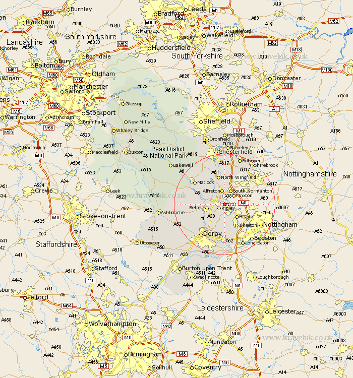
Derbyshire Map Showing Location of Riddings
District: Amber Valley
Easting: 442449 Northing: 350525
Latitude: 53.05 Longitude: -1.37
 = Riddings
Easting: 442449 Northing: 350525
Latitude: 53.05 Longitude: -1.37
= Riddings
This Riddings map below is supplied by Google. Use the tools in the top left corner to zoom into street level or zoom out for a road map, you may also need to zoom in to see Riddings on the map. Click and drag the map to move around. If the map fails to load try and refresh your browser or zoom in or out (+ or -).
Update - it seems Google no longer allow people to use their maps for free! This Riddings map sometimes loads and sometimes gives a error. I am working on a solution.
Closest 30 Towns or Cities to Riddings (Population over 500)
Codnor 1.86km Swanwick 2.9km Ripley 2.9km Denby 4.32km Pinxton 4.99km Alfreton 5.67km South Wingfield 5.79km Wingfield 5.79km Heage 5.87km South Normanton 5.99km Shipley Gate Station 6.49km Belper 6.94km Kilbourne 7.13km Kilburn 7.13km Kilbourn 7.13km Heanor 7.13km Smalley 7.5km Blackwell 7.74km Shirland 7.74km Ambergate 7.8km Ambergate Junction Station 7.8km Crich 8.63km Holbrook 8.7km Morton 9.33km Tibshelf 9.53km Stretton 9.85km Ilkeston 10.28km Pilsley 11.12km West Hallam 11.18km Clay Cross 11.61km