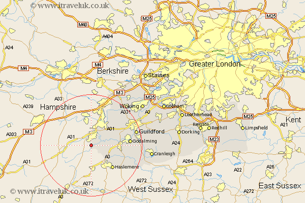
Surrey Map Showing Location of Rowledge
District: Waverley
Easting: 482727 Northing: 141548
Latitude: 51.17 Longitude: -0.82
 = Rowledge
Easting: 482727 Northing: 141548
Latitude: 51.17 Longitude: -0.82
= Rowledge
This Rowledge map below is supplied by Google. Use the tools in the top left corner to zoom into street level or zoom out for a road map, you may also need to zoom in to see Rowledge on the map. Click and drag the map to move around. If the map fails to load try and refresh your browser or zoom in or out (+ or -).
Update - it seems Google no longer allow people to use their maps for free! This Rowledge map sometimes loads and sometimes gives a error. I am working on a solution.
Closest 30 Towns or Cities to Rowledge (Population over 500)
Frensham 2.19km Farnham 3.88km Seale 7.89km Thursley 7.9km Tongham 8.04km Elstead 8.13km Hindhead 9.42km Puttenham 11.09km Haslemere 12.34km Milford 12.78km Compton 13.3km Witley 13.31km Normandy 13.97km Hambledon 15.02km Goldaming 15.22km Godalming 15.22km Chiddingfold 15.8km Frimley 15.92km Deepcut 16.38km Shalford 17.81km Pirbright 18.2km Guildford 18.29km Guilford 18.29km Bramley 18.68km Dunsfold 18.95km Wonersh 19.84km Worplesdon 19.9km Camberly 21.19km Camberley 21.19km St. Martha 21.63km