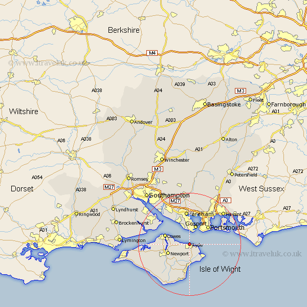
Hampshire Map Showing Location of Ryde
Population: 20177
Area Size (ha): 519
Easting: 458803 Northing: 93030
Latitude: 50.73 Longitude: -1.17
 = Ryde
Area Size (ha): 519
Easting: 458803 Northing: 93030
Latitude: 50.73 Longitude: -1.17
= Ryde
This Ryde map below is supplied by Google. Use the tools in the top left corner to zoom into street level or zoom out for a road map, you may also need to zoom in to see Ryde on the map. Click and drag the map to move around. If the map fails to load try and refresh your browser or zoom in or out (+ or -).
Update - it seems Google no longer allow people to use their maps for free! This Ryde map sometimes loads and sometimes gives a error. I am working on a solution.
Closest 30 Towns or Cities to Ryde (Population over 500)
Seaview 5.04km Wootton 5.04km Saint Helens 5.11km St Helens 5.11km St. Helens 5.11km Brading 5.69km Newchurch 7.77km Gosport 7.77km Lee-on-Solent 7.77km Lee on the Solent 7.77km Lee on Solent 7.77km Lee-on-the-Solent 7.77km Bembridge 8.08km Southsea 8.96km Newport 9.01km Sandown 9.34km Arreton 9.45km East Cowes 9.56km Portsmouth 10.02km Cowes 10.09km Northwood 10.56km Gurnard 10.72km Portchester 11.66km Porchester 11.66km Rookley 12.39km Shanklin 13.02km Fareham 13.02km Godshill 14.24km Jentnor 14.87km Ventnor 14.87km