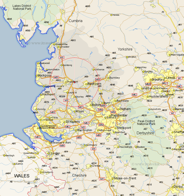
Lancashire Map Showing Location of Samlesbury
Population: 1011
District: South Ribble
Easting: 359356 Northing: 430239
Latitude: 53.77 Longitude: -2.62
 = Samlesbury
District: South Ribble
Easting: 359356 Northing: 430239
Latitude: 53.77 Longitude: -2.62
= Samlesbury
This Samlesbury map below is supplied by Google. Use the tools in the top left corner to zoom into street level or zoom out for a road map, you may also need to zoom in to see Samlesbury on the map. Click and drag the map to move around. If the map fails to load try and refresh your browser or zoom in or out (+ or -).
Update - it seems Google no longer allow people to use their maps for free! This Samlesbury map sometimes loads and sometimes gives a error. I am working on a solution.
Closest 30 Towns or Cities to Samlesbury (Population over 500)
Grimsargh 3.86km Mellor 5.48km Hoghton 5.98km Goosnargh 6.46km Preston 6.57km Ribchester 6.61km Longridge 7.72km Farrington 7.81km Farington 7.81km Penwortham 7.89km Withnell 8.62km Wilpshire 8.95km Blackburn 8.96km Broughton 9.47km Barton 9.47km Woodplumpton 9.51km Brinscall 9.84km Hutton 10.54km Leyland 10.77km Heapey 11.12km Langho 11.56km Lea Town 12.05km Lea 12.05km Darwen 12.34km Claughton on Brock 12.91km Claughton-on-Brock 12.91km Claughton 12.91km Chorley 12.98km Chipping 13.15km Great Harwood 13.27km