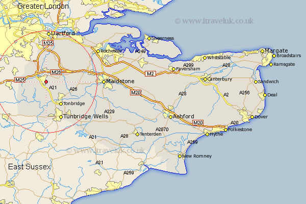
Kent Map Showing Location of Sevenoaks
Population: 24032
Area Size (ha): 1102
District: Sevenoaks
Easting: 553463 Northing: 154305
Latitude: 51.27 Longitude: 0.2
 = Sevenoaks
Area Size (ha): 1102
District: Sevenoaks
Easting: 553463 Northing: 154305
Latitude: 51.27 Longitude: 0.2
= Sevenoaks
This Sevenoaks map below is supplied by Google. Use the tools in the top left corner to zoom into street level or zoom out for a road map, you may also need to zoom in to see Sevenoaks on the map. Click and drag the map to move around. If the map fails to load try and refresh your browser or zoom in or out (+ or -).
Update - it seems Google no longer allow people to use their maps for free! This Sevenoaks map sometimes loads and sometimes gives a error. I am working on a solution.
Closest 30 Towns or Cities to Sevenoaks (Population over 500)
Seal 2.18km Otford 3.88km Kemsing 4.37km Chevening 4.99km Shoreham 5.68km Weald 5.68km Ide Hill 5.94km Brasted 6.96km Borough Green 7.2km Plaxtol 7.2km Halstead 7.24km Fort Halstead 7.24km Halsted 7.24km Hildenborough 7.77km Knockholt 7.88km Westerham 8.12km West Kingsdown 8.18km Wrotham 8.92km Eynsford 9.33km Leigh 9.35km Hadlow 10.82km Tonbridge 10.94km Ridley 10.98km Farningham 11.18km Penshurst 11.18km Ash 11.58km Offham 11.74km Mereworth 11.75km Chiddingstone 12.05km Hextable 12.93km