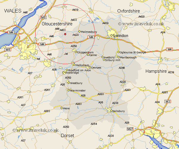
Wiltshire Map Showing Location of Sherston
Population: 1170
Area Size (ha): 37
District: North Wiltshire
Easting: 384983 Northing: 185389
Latitude: 51.57 Longitude: -2.22
 = Sherston
Area Size (ha): 37
District: North Wiltshire
Easting: 384983 Northing: 185389
Latitude: 51.57 Longitude: -2.22
= Sherston
This Sherston map below is supplied by Google. Use the tools in the top left corner to zoom into street level or zoom out for a road map, you may also need to zoom in to see Sherston on the map. Click and drag the map to move around. If the map fails to load try and refresh your browser or zoom in or out (+ or -).
Update - it seems Google no longer allow people to use their maps for free! This Sherston map sometimes loads and sometimes gives a error. I am working on a solution.
Closest 30 Towns or Cities to Sherston (Population over 500)
Luckington 2.96km Hullavington 5.92km Stanton 8.01km Stanton St Quintin 8.01km Stanton Saint Quintin 8.01km Stanton St. Quintin 8.01km Nettleton 8.18km Yatton Keynell 9.35km Malmsbury 9.4km Malmesbury 9.4km Lea 10.37km Somerford 11.02km Great Somerford 11.02km Sutton Benger 11.84km Crudwell 12.74km Christian Malford 13.71km Chippenham 14.71km Corsham 15.23km Colerne 15.23km Brinkworth 16.24km Box 16.84km Bremhill 18.15km Lyneham 18.16km Minety 19.24km Laycock 19.79km Lacock 19.79km Whitley 20.41km Atworth 20.43km Hillmarton 20.56km Hilmarton 20.56km