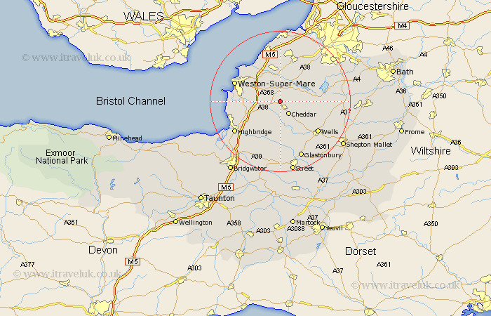
Somerset Map Showing Location of Shipham
Population: 1022
District: Sedgemoor
Easting: 344232 Northing: 156013
Latitude: 51.3 Longitude: -2.8
 = Shipham
District: Sedgemoor
Easting: 344232 Northing: 156013
Latitude: 51.3 Longitude: -2.8
= Shipham
This Shipham map below is supplied by Google. Use the tools in the top left corner to zoom into street level or zoom out for a road map, you may also need to zoom in to see Shipham on the map. Click and drag the map to move around. If the map fails to load try and refresh your browser or zoom in or out (+ or -).
Update - it seems Google no longer allow people to use their maps for free! This Shipham map sometimes loads and sometimes gives a error. I am working on a solution.
Closest 30 Towns or Cities to Shipham (Population over 500)
Axbridge 1.85km Churchill 3.7km Sandford 4.37km Cheddar 4.37km Weare 4.37km Banwell 4.99km Priddy 6.02km Blagdon 6.87km Locking 6.87km Rodney Stoke 7.24km Congresbury 7.42km Wrington 7.77km Yatton 9.33km Wedmore 9.34km Westbury 9.41km Hutton 9.45km Bleadon 10.43km Compton Martin 10.43km Lympsham 10.59km Mark 11.59km East Harptree 11.59km Wick St Lawrence 12.31km Wick Saint Lawrence 12.31km Wick St. Lawrence 12.31km Chew Stoke 12.85km Brent Knoll 12.86km Wookey 13.77km Weston-Super-Mare 13.9km Winford 13.94km Wells 13.96km