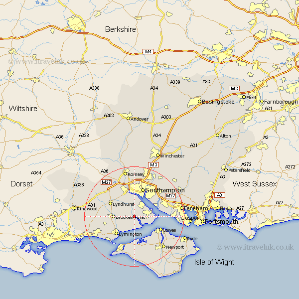
Hampshire Map Showing Location of Beaulieu
Population: 809
District: New Forest
Easting: 438741 Northing: 102112
Latitude: 50.82 Longitude: -1.45
 = Beaulieu
District: New Forest
Easting: 438741 Northing: 102112
Latitude: 50.82 Longitude: -1.45
= Beaulieu
This Beaulieu map below is supplied by Google. Use the tools in the top left corner to zoom into street level or zoom out for a road map, you may also need to zoom in to see Beaulieu on the map. Click and drag the map to move around. If the map fails to load try and refresh your browser or zoom in or out (+ or -).
Update - it seems Google no longer allow people to use their maps for free! This Beaulieu map sometimes loads and sometimes gives a error. I am working on a solution.
Closest 30 Towns or Cities to Beaulieu (Population over 500)
Beaulieu 0km Bewley 0km Dibden 5.68km Hythe 6.58km Fawley 7.03km Marchwood 7.5km Boldre 8.08km Brockenhurst 8.2km Eling 9.55km Netley 9.9km Netley Marsh 9.9km Hamble 10.07km Hample 10.07km Ashurst 10.12km Lymington 10.22km Itchen 10.38km Lyndhurst 10.89km Sway 11.18km Locks Heath 11.34km Totton 11.36km Bursledon 11.91km Cowes 11.92km Gurnard 11.95km Southampton 12.01km Minstead 12.87km Hordle 12.89km East Cowes 12.89km Northwood 13.19km Shalfleet 13.44km Yarmouth 13.44km