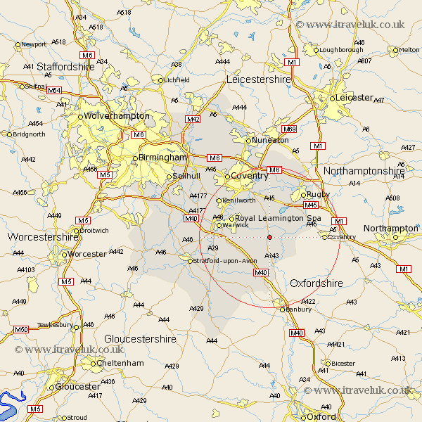
Warwickshire Map Showing Location of Southam
Population: 5225
Area Size (ha): 121
District: Stratford-on-Avon
Easting: 442094 Northing: 261536
Latitude: 52.25 Longitude: -1.38
 = Southam
Area Size (ha): 121
District: Stratford-on-Avon
Easting: 442094 Northing: 261536
Latitude: 52.25 Longitude: -1.38
= Southam
This Southam map below is supplied by Google. Use the tools in the top left corner to zoom into street level or zoom out for a road map, you may also need to zoom in to see Southam on the map. Click and drag the map to move around. If the map fails to load try and refresh your browser or zoom in or out (+ or -).
Update - it seems Google no longer allow people to use their maps for free! This Southam map sometimes loads and sometimes gives a error. I am working on a solution.
Closest 30 Towns or Cities to Southam (Population over 500)
Long Itchington 1.86km Stockton 2.93km Napton 4.9km Napton on the Hill 4.9km Napton-on-the-Hill 4.9km Harbury 4.9km Bishops Itchington 6.52km Priors Marston 8.79km Whitnash 9.08km Bishops Tachbrook 10.38km Bubbenhall 10.86km Lighthorne 10.87km Fenny Compton 11.12km Dunchurch 11.49km Royal Leamington Spa 11.62km Leamington 11.62km Leamington Spa 11.62km Wolston 12.98km Brandon 13.03km Kineton 13.67km Warwick 14.11km Long Lawford 14.16km Stoneleigh 14.35km Baginton 14.65km Barford 14.87km Wellesbourne 15.51km Wellesbourne Hastings 15.51km Rugby 15.83km Brinklow 16.83km Kenilworth 17.57km