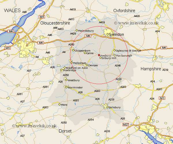
Wiltshire Map Showing Location of Beckhampton
District: Kennet
Easting: 409270 Northing: 168694
Latitude: 51.42 Longitude: -1.87
 = Beckhampton
Easting: 409270 Northing: 168694
Latitude: 51.42 Longitude: -1.87
= Beckhampton
This Beckhampton map below is supplied by Google. Use the tools in the top left corner to zoom into street level or zoom out for a road map, you may also need to zoom in to see Beckhampton on the map. Click and drag the map to move around. If the map fails to load try and refresh your browser or zoom in or out (+ or -).
Update - it seems Google no longer allow people to use their maps for free! This Beckhampton map sometimes loads and sometimes gives a error. I am working on a solution.
Closest 30 Towns or Cities to Beckhampton (Population over 500)
Cherhill 5.78km Broad Town 7.41km Broad Hinton 7.76km Bishops Cannings 8.02km Hillmarton 8.89km Hilmarton 8.89km Calne 9.43km Roundway 9.82km Marlborough 10.4km Devizes 10.98km Bremhill 12.13km Pewsey 12.31km Wroughton 12.53km Lyneham 13.1km Wooton Bassett 13.17km Wootton Bassett 13.17km Rowde 13.74km Urchfont 13.78km Chiseldon 13.92km Upavon 15.23km Potterne 15.23km Christian Malford 15.72km Swindon 16.6km Lydiard Millicent 16.68km Burbage 16.69km Seend 16.77km Brinkworth 16.88km Lavington 16.9km Market Lavington 16.9km Wanborough 17.36km