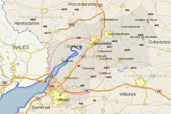
Gloucestershire Map Showing Location of Stinchcombe
Population: 392
District: Stroud
Easting: 373501 Northing: 198406
Latitude: 51.68 Longitude: -2.38
 = Stinchcombe
District: Stroud
Easting: 373501 Northing: 198406
Latitude: 51.68 Longitude: -2.38
= Stinchcombe
This Stinchcombe map below is supplied by Google. Use the tools in the top left corner to zoom into street level or zoom out for a road map, you may also need to zoom in to see Stinchcombe on the map. Click and drag the map to move around. If the map fails to load try and refresh your browser or zoom in or out (+ or -).
Update - it seems Google no longer allow people to use their maps for free! This Stinchcombe map sometimes loads and sometimes gives a error. I am working on a solution.
Closest 30 Towns or Cities to Stinchcombe (Population over 500)
North Nibley 1.85km Cam 2.95km Slimbridge 3.71km Dursley 3.91km Uley 4.6km Berkeley 4.6km Coaley 5.06km Wotton-under-Edge 6.02km Wotton under Edge 6.02km Stone 6.84km Falfield 7.22km Charfield 7.76km Cromhall 8.72km Frampton on Severn 9.34km Frampton-on-Severn 9.34km Frampton 9.34km Awre 9.89km Stonehouse 10.12km Horsley 10.34km Woodchester 10.98km Lydney 10.98km Wickwar 11.12km Tytherington 11.55km Hawkesbury 11.65km Nailsworth 12.64km Randwick 13.05km Thornbury 13.06km Newnham 13.42km Newham 13.42km Rangeworthy 13.76km