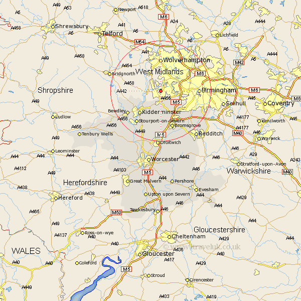
Worcestershire Map Showing Location of Stourbridge
Population: 54664
Area Size (ha): 1455
District: Dudley
Easting: 390943 Northing: 285467
Latitude: 52.47 Longitude: -2.13
 = Stourbridge
Area Size (ha): 1455
District: Dudley
Easting: 390943 Northing: 285467
Latitude: 52.47 Longitude: -2.13
= Stourbridge
This Stourbridge map below is supplied by Google. Use the tools in the top left corner to zoom into street level or zoom out for a road map, you may also need to zoom in to see Stourbridge on the map. Click and drag the map to move around. If the map fails to load try and refresh your browser or zoom in or out (+ or -).
Update - it seems Google no longer allow people to use their maps for free! This Stourbridge map sometimes loads and sometimes gives a error. I am working on a solution.
Closest 30 Towns or Cities to Stourbridge (Population over 500)
Netherton 3.86km Hagley 3.88km Clent 5.67km Halesowen 5.94km Churchill 6.51km Belbroughton 7.5km Romsley 7.92km Oldbury 8.72km Stone 12km Kidderminster 12.19km Lickey 12.47km Lickey End 12.47km Dodford 13.17km Great Dodford 13.17km Chaddesley Corbett 13.17km Coston Hackett 15.07km Cofton Hackett 15.07km Arley 15.15km Upper Arley 15.15km Bromsgrove 15.51km Bewdley 15.51km Stourport 15.82km Stourport on Severn 15.82km Stourport-on-Severn 15.82km Hartlebury 16.31km Barnt Green 16.49km Stoke Prior 19.08km Alvechurch 19.36km Droitwich 22.27km Astley 22.33km