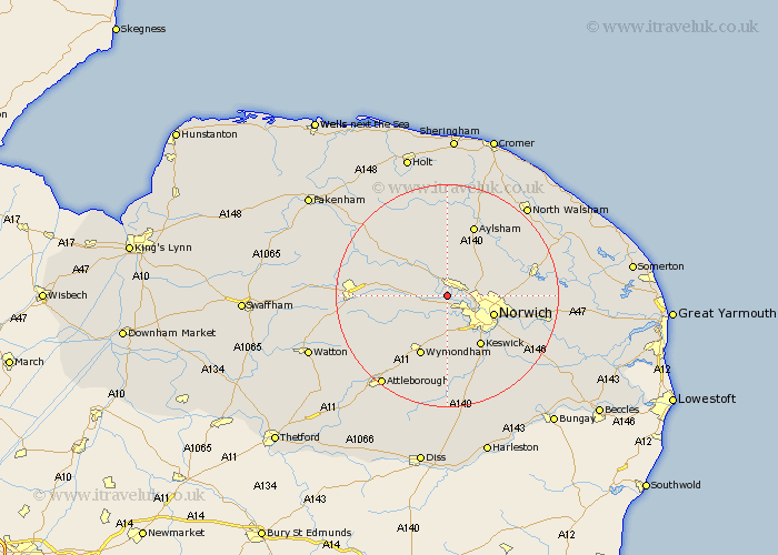
Norfolk Map Showing Location of Taverham
Population: 9638
Area Size (ha): 339
District: Broadland
Easting: 615226 Northing: 312456
Latitude: 52.67 Longitude: 1.18
 = Taverham
Area Size (ha): 339
District: Broadland
Easting: 615226 Northing: 312456
Latitude: 52.67 Longitude: 1.18
= Taverham
This Taverham map below is supplied by Google. Use the tools in the top left corner to zoom into street level or zoom out for a road map, you may also need to zoom in to see Taverham on the map. Click and drag the map to move around. If the map fails to load try and refresh your browser or zoom in or out (+ or -).
Update - it seems Google no longer allow people to use their maps for free! This Taverham map sometimes loads and sometimes gives a error. I am working on a solution.
Closest 30 Towns or Cities to Taverham (Population over 500)
Drayton 2.25km Costessey 2.91km Horsford 4.86km Hellesdon 5.83km Horsham 6.99km Horsham St Faith 6.99km Horsham St. Faith 6.99km Horsham Saint Faith 6.99km Hethersett 7.41km Hockering 7.87km Witchingham 8.66km Cringleford 8.67km Norwich 8.7km Hainford 9.63km Haynford 9.63km Lyng 9.63km Spixworth 10.11km Mattishall 10.29km Reepham 10.3km Hevingham 10.83km Cawston 11.18km Thorpe Saint Andrew 11.84km Thorpe St Andrew 11.84km Thorpe Episcopi 11.84km Thorpe 11.84km Thorpe St. Andrew 11.84km Thorpe next Norwich 11.84km Swardeston 11.99km Wymondham 11.99km Marsham 12km