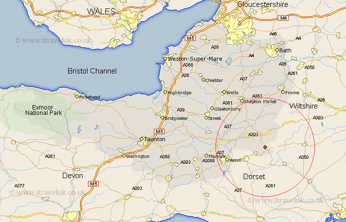
Somerset Map Showing Location of Templecombe
District: South Somerset
Easting: 370765 Northing: 122432
Latitude: 51 Longitude: -2.42
 = Templecombe
Easting: 370765 Northing: 122432
Latitude: 51 Longitude: -2.42
= Templecombe
This Templecombe map below is supplied by Google. Use the tools in the top left corner to zoom into street level or zoom out for a road map, you may also need to zoom in to see Templecombe on the map. Click and drag the map to move around. If the map fails to load try and refresh your browser or zoom in or out (+ or -).
Update - it seems Google no longer allow people to use their maps for free! This Templecombe map sometimes loads and sometimes gives a error. I am working on a solution.
Closest 30 Towns or Cities to Templecombe (Population over 500)
Henstridge 3.89km Milborne Port 5.1km North Cadbury 7.91km Wincanton 9.34km Sparkford 11.13km Bruton 11.18km Redlynch 11.18km Castle Cary 11.6km Queen Camel 11.81km Mudford 14.12km Ditcheat 15.33km Yeovil 16.16km Yeovilton 17.49km Evercreech 17.67km Ilchester 18.66km Charlton Mackrell 18.99km Barton St. David 19.74km Barton St David 19.74km Barton Saint David 19.74km Baltonsborough 20.84km West Coker 20.85km Tintinhull 21.32km Butleigh 21.71km Montacute 21.73km Pilton 21.89km Nunney 22.36km Shepton Mallet 22.41km Shepun 22.41km West Pennard 23.32km Martock 23.63km