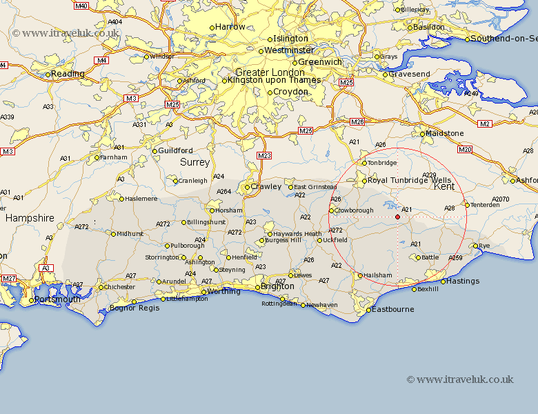
Sussex Map Showing Location of Ticehurst
Population: 3393
District: Rother
Easting: 569428 Northing: 128831
Latitude: 51.03 Longitude: 0.42
 = Ticehurst
District: Rother
Easting: 569428 Northing: 128831
Latitude: 51.03 Longitude: 0.42
= Ticehurst
This Ticehurst map below is supplied by Google. Use the tools in the top left corner to zoom into street level or zoom out for a road map, you may also need to zoom in to see Ticehurst on the map. Click and drag the map to move around. If the map fails to load try and refresh your browser or zoom in or out (+ or -).
Update - it seems Google no longer allow people to use their maps for free! This Ticehurst map sometimes loads and sometimes gives a error. I am working on a solution.
Closest 30 Towns or Cities to Ticehurst (Population over 500)
Ticehurst 0km Etchingham 3.88km Burwash 4.38km Hurst Green 5.09km Wadhurst 6.12km Robertsbridge 6.57km Mountfield 11.66km Frant 11.87km Mayfield 12.23km Northiam 13.98km Rotherfield 13.99km Heathfield 14km Battle 14.22km Warbleton 14.52km Sedlescombe 15.32km Catsfield 16.84km Beckley 16.87km Hadlow Down 17.25km Horam 17.44km Horeham 17.44km Hurstmonceaux 17.67km Hurstmonceux 17.67km Herstmonceux 17.67km Westfield 18.17km Brede 18.24km Ninfield 18.53km Crowborough 18.74km Crowhurst 19.42km Peasmarsh 20.08km Withyham 20.57km