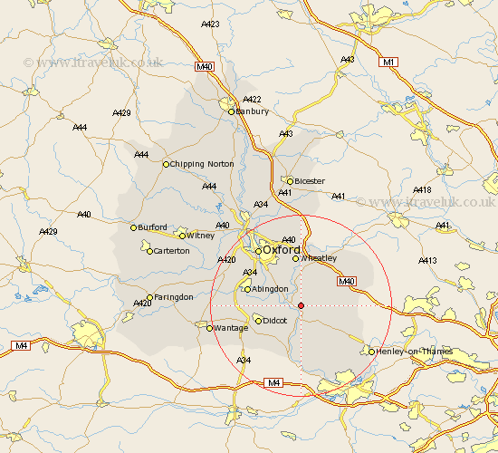
Oxfordshire Map Showing Location of Benson
Population: 4694
Area Size (ha): 385
District: South Oxfordshire
Easting: 461129 Northing: 193146
Latitude: 51.63 Longitude: -1.12
 = Benson
Area Size (ha): 385
District: South Oxfordshire
Easting: 461129 Northing: 193146
Latitude: 51.63 Longitude: -1.12
= Benson
This Benson map below is supplied by Google. Use the tools in the top left corner to zoom into street level or zoom out for a road map, you may also need to zoom in to see Benson on the map. Click and drag the map to move around. If the map fails to load try and refresh your browser or zoom in or out (+ or -).
Update - it seems Google no longer allow people to use their maps for free! This Benson map sometimes loads and sometimes gives a error. I am working on a solution.
Closest 30 Towns or Cities to Benson (Population over 500)
Warborough 2.18km Drayton Saint Leonard 2.18km Drayton St Leonard 2.18km Drayton St. Leonard 2.18km Drayton 2.18km Chalgrove 2.95km Dorchester 3.45km Wallingford 3.88km Stadhampton 3.88km Ewelme 5.07km Clifton Hampden 6.04km Cholsey 7.76km Garsington 7.76km Watlington 8.05km Long Wittenham 8.05km Great Haseley 8.18km Cuddesdon 9.34km Nuffield 9.38km Milton 9.55km Great Milton 9.55km Radley 9.78km Hagbourne 9.79km East Hagbourne 9.79km Didcot 9.92km Sutton Courtenay 10.35km Tetsworth 10.94km Lewknor 10.99km Wheatley 11.18km Moulsford 11.36km Littlemore 11.55km