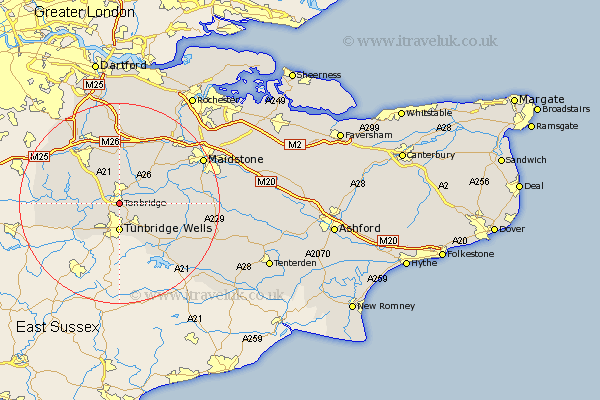
Kent Map Showing Location of Tonbridge
Population: 33769
Area Size (ha): 889
District: Tonbridge and Malling
Easting: 559564 Northing: 145210
Latitude: 51.18 Longitude: 0.28
 = Tonbridge
Area Size (ha): 889
District: Tonbridge and Malling
Easting: 559564 Northing: 145210
Latitude: 51.18 Longitude: 0.28
= Tonbridge
This Tonbridge map below is supplied by Google. Use the tools in the top left corner to zoom into street level or zoom out for a road map, you may also need to zoom in to see Tonbridge on the map. Click and drag the map to move around. If the map fails to load try and refresh your browser or zoom in or out (+ or -).
Update - it seems Google no longer allow people to use their maps for free! This Tonbridge map sometimes loads and sometimes gives a error. I am working on a solution.
Closest 30 Towns or Cities to Tonbridge (Population over 500)
Hildenborough 3.95km Leigh 4.65km Southborough 5.09km Bidborough 5.09km Hadlow 5.09km Tunbridge Wells 5.56km Royal Tunbridge Wells 5.56km Turnbridge Wells 5.56km Pembury 6.03km Paddock Wood 7.21km East Peckham 7.21km Penshurst 7.21km Speldhurst 7.25km Plaxtol 7.51km Weald 7.9km Mereworth 9.42km Brenchley 9.85km Chiddingstone 10.62km Sevenoaks 10.94km Yalding 11.09km Borough Green 11.18km Ide Hill 11.84km Wateringbury 11.88km Seal 12.05km Offham 12.54km Horsmonden 12.82km Hever 12.91km Lamberhurst 13.13km Wrotham 13.18km Kemsing 13.43km