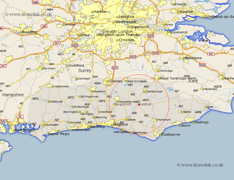
Sussex Map Showing Location of Uckfield
Population: 13174
Area Size (ha): 357
District: Wealden
Easting: 547440 Northing: 120746
Latitude: 50.97 Longitude: 0.1
 = Uckfield
Area Size (ha): 357
District: Wealden
Easting: 547440 Northing: 120746
Latitude: 50.97 Longitude: 0.1
= Uckfield
This Uckfield map below is supplied by Google. Use the tools in the top left corner to zoom into street level or zoom out for a road map, you may also need to zoom in to see Uckfield on the map. Click and drag the map to move around. If the map fails to load try and refresh your browser or zoom in or out (+ or -).
Update - it seems Google no longer allow people to use their maps for free! This Uckfield map sometimes loads and sometimes gives a error. I am working on a solution.
Closest 30 Towns or Cities to Uckfield (Population over 500)
Maresfield 2.18km Buxted 2.98km Framfield 2.98km Isfield 4.39km Fletching 5.02km Newick 5.84km Hadlow Down 6.12km Chailey 6.12km East Hoathly 7.26km Barcombe Mills Station 8.77km Chiddingly 9.44km Ringmer 9.56km Laughton 9.56km Horsted Keynes 9.88km Crowborough 9.9km Rotherfield 11.02km Mayfield 11.13km Heathfield 11.82km Horam 11.89km Horeham 11.89km Lindfield 12.24km Wivelsfield 12.97km Hartfield 13.02km Withyham 13.17km Warbleton 13.37km Chalvington 13.44km Lewes 13.8km Plumpton 14.02km Haywards Heath 14.12km Baywards Heath 14.12km