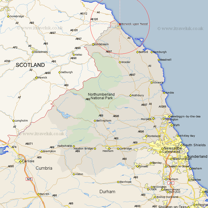
Northumberland Map Showing Location of Berwick On Tweed
Population: 13497
Area Size (ha): 465
District: Berwick-upon-Tweed
Easting: 400000 Northing: 654444
Latitude: 55.78 Longitude: -2
 = Berwick On Tweed
Area Size (ha): 465
District: Berwick-upon-Tweed
Easting: 400000 Northing: 654444
Latitude: 55.78 Longitude: -2
= Berwick On Tweed
This Berwick On Tweed map below is supplied by Google. Use the tools in the top left corner to zoom into street level or zoom out for a road map, you may also need to zoom in to see Berwick On Tweed on the map. Click and drag the map to move around. If the map fails to load try and refresh your browser or zoom in or out (+ or -).
Update - it seems Google no longer allow people to use their maps for free! This Berwick On Tweed map sometimes loads and sometimes gives a error. I am working on a solution.
Closest 30 Towns or Cities to Berwick On Tweed (Population over 500)
Ord 3.85km East Ord 3.85km Ancroft 9.27km Norham 11.96km Lowick 16.81km Belford 22.91km Wooler 27.8km North Sunderland 31.89km Beadnell 34.67km Embleton 41.13km Alnwick 46.61km Almwick 46.61km Alnmouth 49.48km Shilbottle 50.42km Lisburg 50.59km Lesbury 50.59km Rothbury 52.27km Warkworth 53.88km Swarland 56.3km Amble 56.49km Longframlington 57.25km Felton 58.72km East Thirston 59.06km Thirston 59.06km East Chevington 61.47km Longhorsley 62.9km Otterburn 63.88km Ellington 68.66km Hebron 69.64km Lynemouth 69.65km