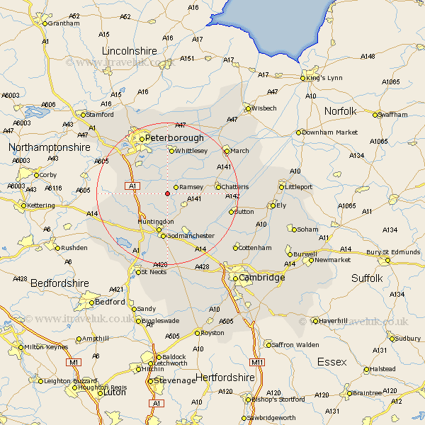
Cambridgeshire Map Showing Location of Upwood
District: Huntingdonshire
Easting: 525755 Northing: 283353
Latitude: 52.43 Longitude: -0.15
 = Upwood
Easting: 525755 Northing: 283353
Latitude: 52.43 Longitude: -0.15
= Upwood
This Upwood map below is supplied by Google. Use the tools in the top left corner to zoom into street level or zoom out for a road map, you may also need to zoom in to see Upwood on the map. Click and drag the map to move around. If the map fails to load try and refresh your browser or zoom in or out (+ or -).
Update - it seems Google no longer allow people to use their maps for free! This Upwood map sometimes loads and sometimes gives a error. I am working on a solution.
Closest 30 Towns or Cities to Upwood (Population over 500)
Ramsey 2.93km Bury 3.86km Wistow 5.02km Warboys 6.76km Holme 6.76km Sawtry 7.91km Yaxley 10.04km Stilton 10.61km Alconbury 10.84km Huntingdon 11.35km Wyton 11.35km Folksworth 11.58km Somersham 11.59km Farcet 12.47km Godmanchester 13.01km Durolipons 13.01km Whittlesey 13.03km Hemingford Grey 13.16km Hemingford 13.16km West Hemingford 13.4km Hemingford Abbots 13.4km Colne 13.52km Chatteris 13.68km Brampton Grange 14.14km Brampton 14.14km Bluntisham 14.62km Earith 14.62km Doddington 15.7km Ellington 15.81km Needingworth 15.81km