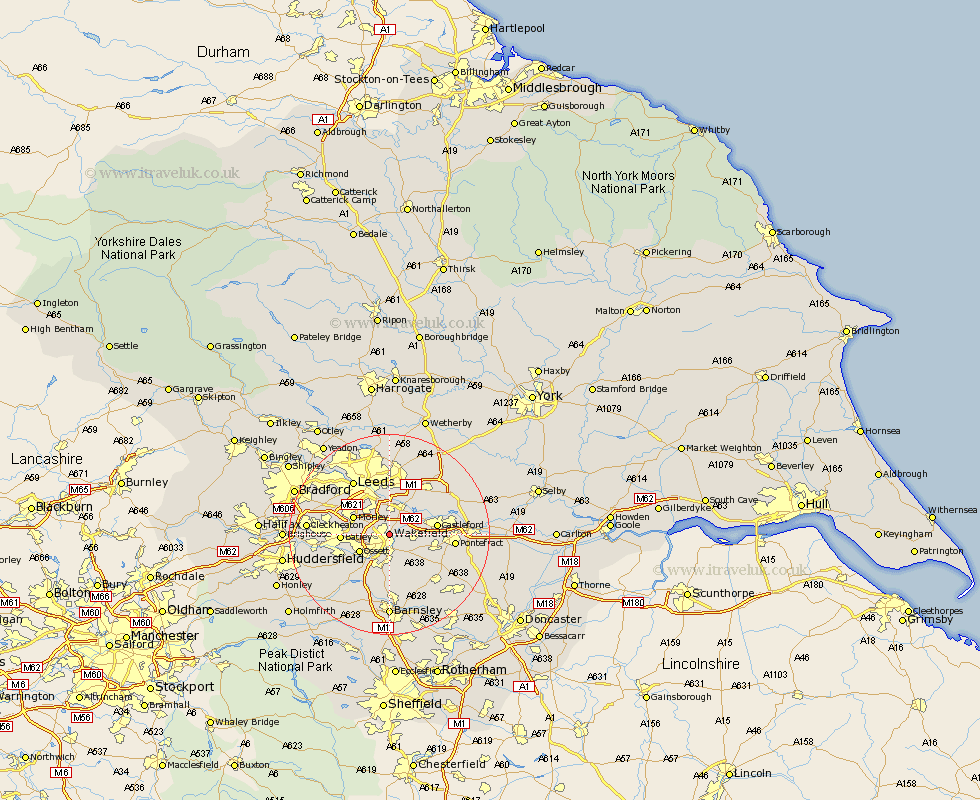
Yorkshire Map Showing Location of Wakefield
Population: 73621
Area Size (ha): 2079
District: Wakefield
Easting: 434107 Northing: 422767
Latitude: 53.7 Longitude: -1.48
 = Wakefield
Area Size (ha): 2079
District: Wakefield
Easting: 434107 Northing: 422767
Latitude: 53.7 Longitude: -1.48
= Wakefield
This Wakefield map below is supplied by Google. Use the tools in the top left corner to zoom into street level or zoom out for a road map, you may also need to zoom in to see Wakefield on the map. Click and drag the map to move around. If the map fails to load try and refresh your browser or zoom in or out (+ or -).
Update - it seems Google no longer allow people to use their maps for free! This Wakefield map sometimes loads and sometimes gives a error. I am working on a solution.
Closest 30 Towns or Cities to Wakefield (Population over 500)
Lofthouse 3.86km Normanton 4.39km Rothwell 5.56km Horbury 5.74km Ossett 6.62km Crofton 7.08km Morley 7.55km Featherstone 7.68km Crigglestone 8.12km Swillington 8.62km Drewsbury 8.78km Dewsbury 8.78km Castleford 8.97km Batley 9.11km Middlestown 9.49km Middletown 9.49km Ryhill 9.83km Fitzwilliam 9.92km Kippax 10.67km West Bretton 10.77km Bretton 10.77km Notton 11.12km Royston 11.33km Woolley 11.33km Ackworth 11.34km Ackworth Moor Top 11.34km High Ackworth 11.34km Garforth 11.36km Heckmondwike 12.07km Pontefract 12.21km