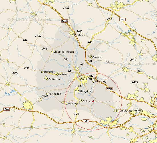
Oxfordshire Map Showing Location of Wallingford
Population: 9075
Area Size (ha): 307
District: South Oxfordshire
Easting: 460019 Northing: 189425
Latitude: 51.6 Longitude: -1.13
 = Wallingford
Area Size (ha): 307
District: South Oxfordshire
Easting: 460019 Northing: 189425
Latitude: 51.6 Longitude: -1.13
= Wallingford
This Wallingford map below is supplied by Google. Use the tools in the top left corner to zoom into street level or zoom out for a road map, you may also need to zoom in to see Wallingford on the map. Click and drag the map to move around. If the map fails to load try and refresh your browser or zoom in or out (+ or -).
Update - it seems Google no longer allow people to use their maps for free! This Wallingford map sometimes loads and sometimes gives a error. I am working on a solution.
Closest 30 Towns or Cities to Wallingford (Population over 500)
Warborough 1.86km Cholsey 3.88km Benson 3.88km Dorchester 4.36km Ewelme 4.6km Drayton 5.56km Drayton Saint Leonard 5.56km Drayton St. Leonard 5.56km Drayton St Leonard 5.56km Chalgrove 6.54km East Hagbourne 7.15km Hagbourne 7.15km Clifton Hampden 7.22km Stadhampton 7.42km Moulsford 7.51km Long Wittenham 7.83km Nuffield 7.84km Didcot 8.06km Blewbury 8.87km Goring 9.26km Watlington 9.92km Sutton Courtenay 9.92km Harwell 10.36km Chilton 10.76km Nettlebed 11.01km Garsington 11.18km Radley 11.55km Milton 11.66km Great Haseley 12.03km Drayton 12.09km