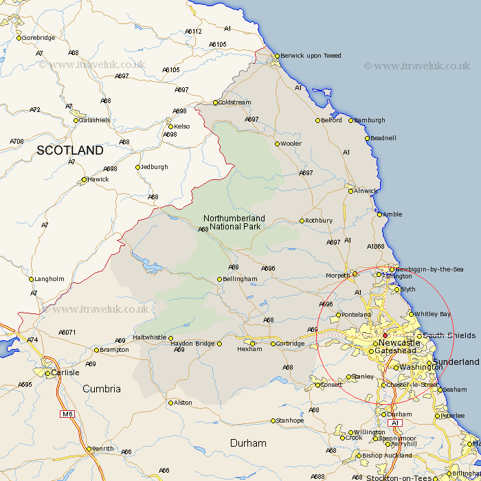
Northumberland Map Showing Location of Wallsend
Population: 44495
Area Size (ha): 1026
District: North Tyneside
Easting: 428167 Northing: 566409
Latitude: 54.99 Longitude: -1.56
 = Wallsend
Area Size (ha): 1026
District: North Tyneside
Easting: 428167 Northing: 566409
Latitude: 54.99 Longitude: -1.56
= Wallsend
This Wallsend map below is supplied by Google. Use the tools in the top left corner to zoom into street level or zoom out for a road map, you may also need to zoom in to see Wallsend on the map. Click and drag the map to move around. If the map fails to load try and refresh your browser or zoom in or out (+ or -).
Update - it seems Google no longer allow people to use their maps for free! This Wallsend map sometimes loads and sometimes gives a error. I am working on a solution.
Closest 30 Towns or Cities to Wallsend (Population over 500)
Long Benton 1.05km Longbenton 1.05km Gosforth 3.76km Newcastle-on-Tyne 3.76km Newcastle 3.76km Newcastle on Tyne 3.76km Newcastle upon Tyne 3.76km Killingworth 4.68km Shiremoor 4.92km North Shields 5.74km Seghill 6.55km Tynemouth 7.75km Woolsington 8.37km Cramlington 8.51km Seaton Delaval 8.81km South Shields 8.83km Whitley 9.44km Whitley Bay 9.44km Dudley 9.83km Dinnington 10.22km Newburn 11.41km Seaton Sluice 11.62km Ponteland 13.77km Stannington 13.87km Blyth 14.66km Blythe 14.66km Bedlington 15.78km Hepscott 18.55km Wylam 18.73km Prudhoe 19.09km