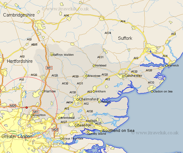
Essex Map Showing Location of Waltham Abbey
Population: 15385
Area Size (ha): 453
District: Epping Forest
Easting: 539400 Northing: 200258
Latitude: 51.68 Longitude: 0.02
 = Waltham Abbey
Area Size (ha): 453
District: Epping Forest
Easting: 539400 Northing: 200258
Latitude: 51.68 Longitude: 0.02
= Waltham Abbey
This Waltham Abbey map below is supplied by Google. Use the tools in the top left corner to zoom into street level or zoom out for a road map, you may also need to zoom in to see Waltham Abbey on the map. Click and drag the map to move around. If the map fails to load try and refresh your browser or zoom in or out (+ or -).
Update - it seems Google no longer allow people to use their maps for free! This Waltham Abbey map sometimes loads and sometimes gives a error. I am working on a solution.
Closest 30 Towns or Cities to Waltham Abbey (Population over 500)
Buckhurst Hill 5.68km Theydon Bois 6.03km Nazeing 6.54km Loughton 6.54km Epping 7.14km Chigwell 8.72km Roydon 9.34km North Weald Bassett 9.38km Ongar Station 10.5km North Weald 10.5km Stanford Rivers 13.91km Harlow 15.18km Navestock 15.95km Chipping Ongar 16.19km Sheering 16.59km High Ongar 17.33km Matching 17.7km Fyfield 18.1km Kelvedon Hatch 18.48km Hatfield Heath 18.92km Hallingbury 20.24km Great Hallingbury 20.24km Brentwood 21.98km Hatfield Broad Oak 23.15km Mountnessing 23.66km Ingrave 24.52km Herongate 24.76km Birchanger 25.02km Ingatestone 25.35km Roxwell 26.33km