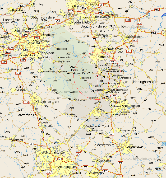
Derbyshire Map Showing Location of Walton
Population: 3309
Area Size (ha): 75
District: North East Derbyshire
Easting: 435609 Northing: 369009
Latitude: 53.22 Longitude: -1.47
 = Walton
Area Size (ha): 75
District: North East Derbyshire
Easting: 435609 Northing: 369009
Latitude: 53.22 Longitude: -1.47
= Walton
This Walton map below is supplied by Google. Use the tools in the top left corner to zoom into street level or zoom out for a road map, you may also need to zoom in to see Walton on the map. Click and drag the map to move around. If the map fails to load try and refresh your browser or zoom in or out (+ or -).
Update - it seems Google no longer allow people to use their maps for free! This Walton map sometimes loads and sometimes gives a error. I am working on a solution.
Closest 30 Towns or Cities to Walton (Population over 500)
Old Brampton 2.89km Brampton 2.89km Wingerworth 2.89km Chesterfield 4.98km Ashover 5.67km Barlow 5.67km Brimington 5.78km Unstone 7.73km Holmesfield 8.12km Clay Cross 8.13km North Wingfield 8.26km Heath 9.07km Dronfield 9.27km Staveley 9.55km Stretton 9.85km Tansley 9.85km Pilsley 9.97km Baslow 10.16km Matlock 10.28km Darley Dale 10.48km Morton 10.81km Eckington 11.41km Ault Hucknall 11.7km Shirland 11.97km Bolsover 12.21km Tibshelf 12.84km Mosborough 12.96km Mosbrough 12.96km Matlock Bath 13.24km Grindleford 13.34km