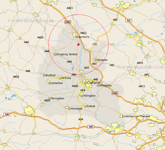
Oxfordshire Map Showing Location of Adderbury
Population: 2325
Area Size (ha): 96
District: Cherwell
Easting: 446906 Northing: 233774
Latitude: 52 Longitude: -1.32
 = Adderbury
Area Size (ha): 96
District: Cherwell
Easting: 446906 Northing: 233774
Latitude: 52 Longitude: -1.32
= Adderbury
This Adderbury map below is supplied by Google. Use the tools in the top left corner to zoom into street level or zoom out for a road map, you may also need to zoom in to see Adderbury on the map. Click and drag the map to move around. If the map fails to load try and refresh your browser or zoom in or out (+ or -).
Update - it seems Google no longer allow people to use their maps for free! This Adderbury map sometimes loads and sometimes gives a error. I am working on a solution.
Closest 30 Towns or Cities to Adderbury (Population over 500)
Deddington 1.86km Bloxham 3.42km Barford St John 3.9km Barford 3.9km Barford St. John 3.9km Barford Saint John 3.9km Banbury 5.68km Duns Tew 7.5km Fritwell 7.97km Upper Heyford 8.17km Steeple Aston 9.33km Wroxton 9.35km Ardley 10.1km Cropredy 11.12km Wardington 11.35km Hook Norton 11.56km Caversfield 12.67km Enstone 13.01km Fringford 14.78km Tackley 14.82km Kirtlington 15.21km Chesterton 15.87km Bicester 15.94km Chipping Norton 16.43km Woodstock 16.68km Bletchingdon 17.03km Charlbury 18.04km Launton 18.88km Chadlington 18.88km Stonesfield 20.19km