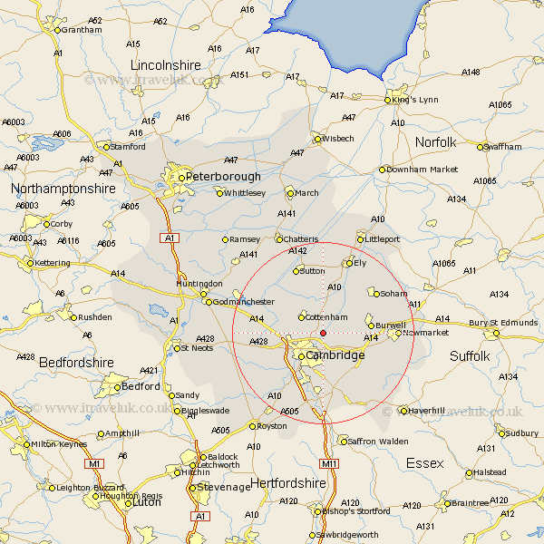
Cambridgeshire Map Showing Location of Waterbeach
Population: 4036
Area Size (ha): 390
District: South Cambridgeshire
Easting: 549027 Northing: 263603
Latitude: 52.25 Longitude: 0.18
 = Waterbeach
Area Size (ha): 390
District: South Cambridgeshire
Easting: 549027 Northing: 263603
Latitude: 52.25 Longitude: 0.18
= Waterbeach
This Waterbeach map below is supplied by Google. Use the tools in the top left corner to zoom into street level or zoom out for a road map, you may also need to zoom in to see Waterbeach on the map. Click and drag the map to move around. If the map fails to load try and refresh your browser or zoom in or out (+ or -).
Update - it seems Google no longer allow people to use their maps for free! This Waterbeach map sometimes loads and sometimes gives a error. I am working on a solution.
Closest 30 Towns or Cities to Waterbeach (Population over 500)
Milton 2.93km Teversham 5.56km Histon 5.67km Cottenham 5.86km Bottisham 6.78km Swaffham Bulbeck 7.06km Girton 7.06km Cambridge 7.18km Fulbourne 7.76km Fulbourn 7.76km Swaffham Prior 7.94km Oakington 8.16km Great Wilbraham 8.7km Wilbraham 8.7km Wicken 9.69km Coton 9.7km Long Stanton 9.8km Burwell 10.38km Dry Drayton 10.38km Willingham 10.86km Wilburton 11.18km Haddenham 11.35km Hauxton 12.49km Comberton 12.63km Hardwicke 12.64km Hardwick 12.64km Stretham 13.17km Shelford 13.42km Over 13.55km Swavesey 13.66km