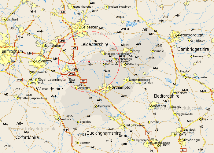
Northamptonshire Map Showing Location of Welford
Population: 1016
District: Daventry
Easting: 464603 Northing: 280322
Latitude: 52.42 Longitude: -1.05
 = Welford
District: Daventry
Easting: 464603 Northing: 280322
Latitude: 52.42 Longitude: -1.05
= Welford
This Welford map below is supplied by Google. Use the tools in the top left corner to zoom into street level or zoom out for a road map, you may also need to zoom in to see Welford on the map. Click and drag the map to move around. If the map fails to load try and refresh your browser or zoom in or out (+ or -).
Update - it seems Google no longer allow people to use their maps for free! This Welford map sometimes loads and sometimes gives a error. I am working on a solution.
Closest 30 Towns or Cities to Welford (Population over 500)
Naseby 5.85km Clipston 6.78km Yelvertoft 7.17km West Haddon 9.34km Guilsborough 9.88km Crick 10.86km Kilsby 12.2km Long Buckby 13.03km Spratton 13.03km East Haddon 13.17km Barby 15.08km Brixworth 15.08km Desborough 15.93km Welton 16.31km Rowell 16.96km Rothwell 16.96km Pitsford 17.22km Braunston 18km Boughton 18km Walgrave 18.35km Wilbarston 18.49km Broughton 20.01km Moulton 20.11km Daventry 20.16km Flore 20.39km Harpole 20.89km Cottingham 21.64km Overstone 21.71km Northampton 21.72km Weedon 22.27km