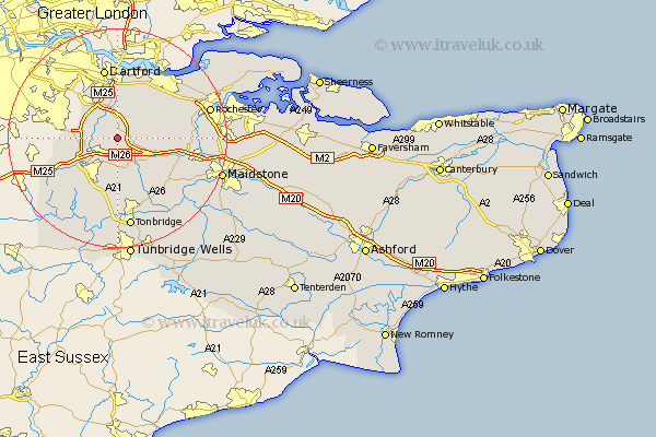
Kent Map Showing Location of West Kingsdown
Population: 4637
Area Size (ha): 127
District: Sevenoaks
Easting: 556723 Northing: 161819
Latitude: 51.33 Longitude: 0.25
 = West Kingsdown
Area Size (ha): 127
District: Sevenoaks
Easting: 556723 Northing: 161819
Latitude: 51.33 Longitude: 0.25
= West Kingsdown
This West Kingsdown map below is supplied by Google. Use the tools in the top left corner to zoom into street level or zoom out for a road map, you may also need to zoom in to see West Kingsdown on the map. Click and drag the map to move around. If the map fails to load try and refresh your browser or zoom in or out (+ or -).
Update - it seems Google no longer allow people to use their maps for free! This West Kingsdown map sometimes loads and sometimes gives a error. I am working on a solution.
Closest 30 Towns or Cities to West Kingsdown (Population over 500)
West Kingsdown 0km Eynsford 2.96km Kemsing 3.88km Ash 3.94km Farningham 4.37km Ridley 4.63km Shoreham 4.99km Hartley 5.93km Wrotham 5.93km Otford 5.93km Seal 6.03km Borough Green 6.56km Longfield 7.23km Hextable 7.71km Swanley 8.02km Sevenoaks 8.18km Halstead 8.32km Fort Halstead 8.32km Halsted 8.32km Southfleet 8.74km Meopham 8.91km Darenth 9.34km Offham 9.83km Chevening 9.83km Plaxtol 9.9km Wilmington 9.9km Ryarsh 9.98km Knockholt 11.06km Stonewood 11.35km Cobham 11.8km